


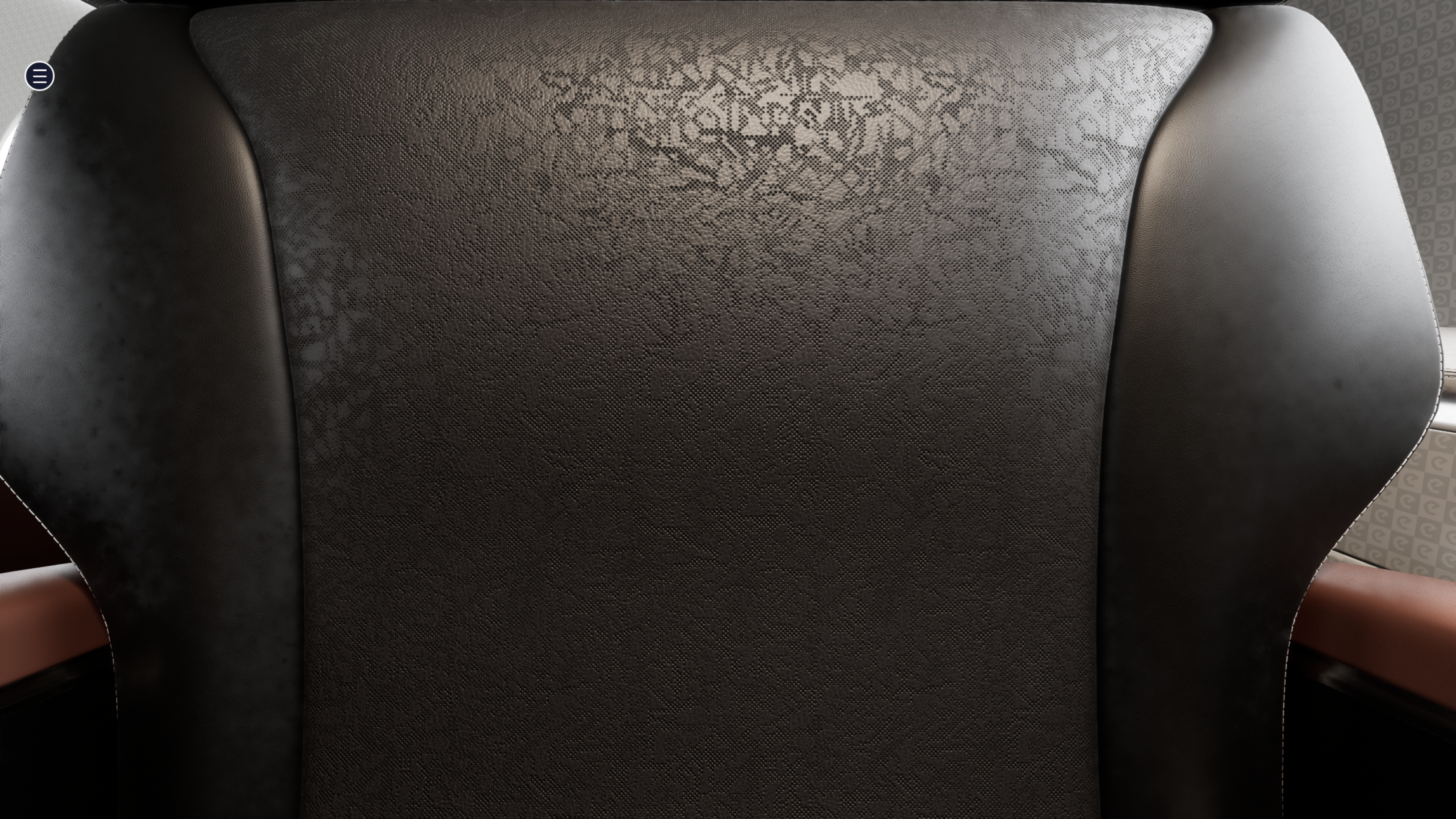


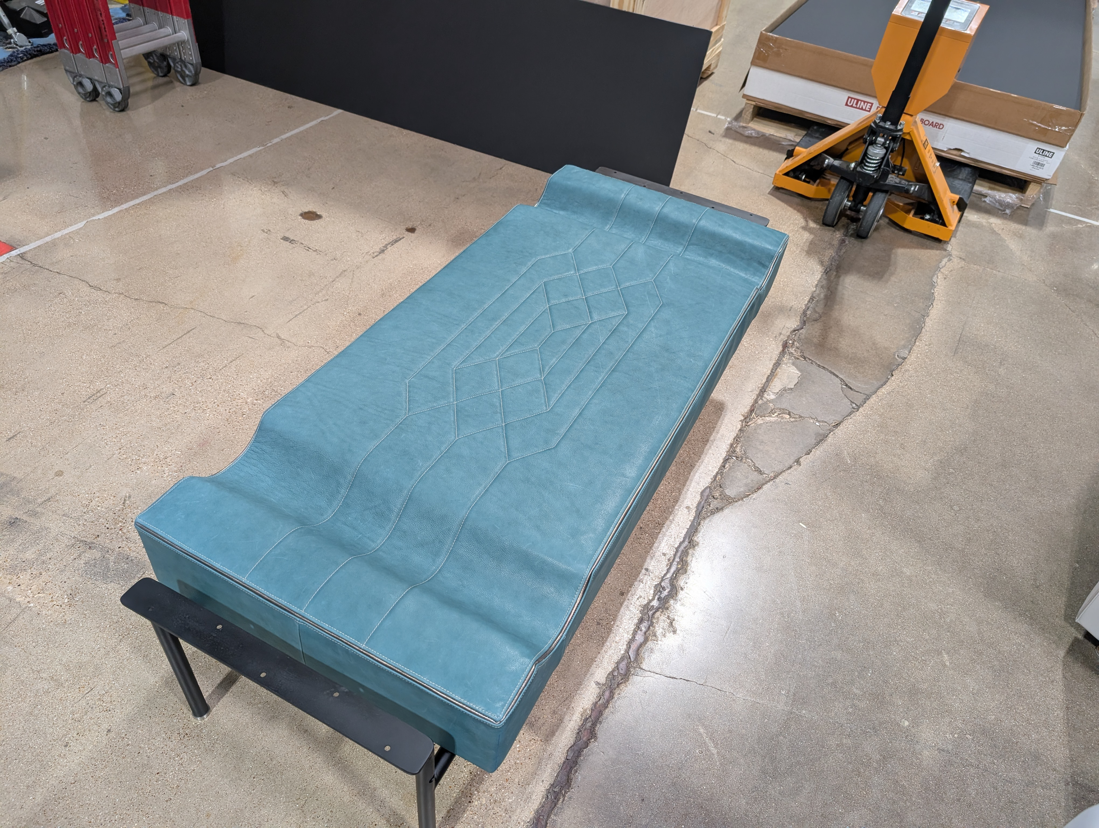


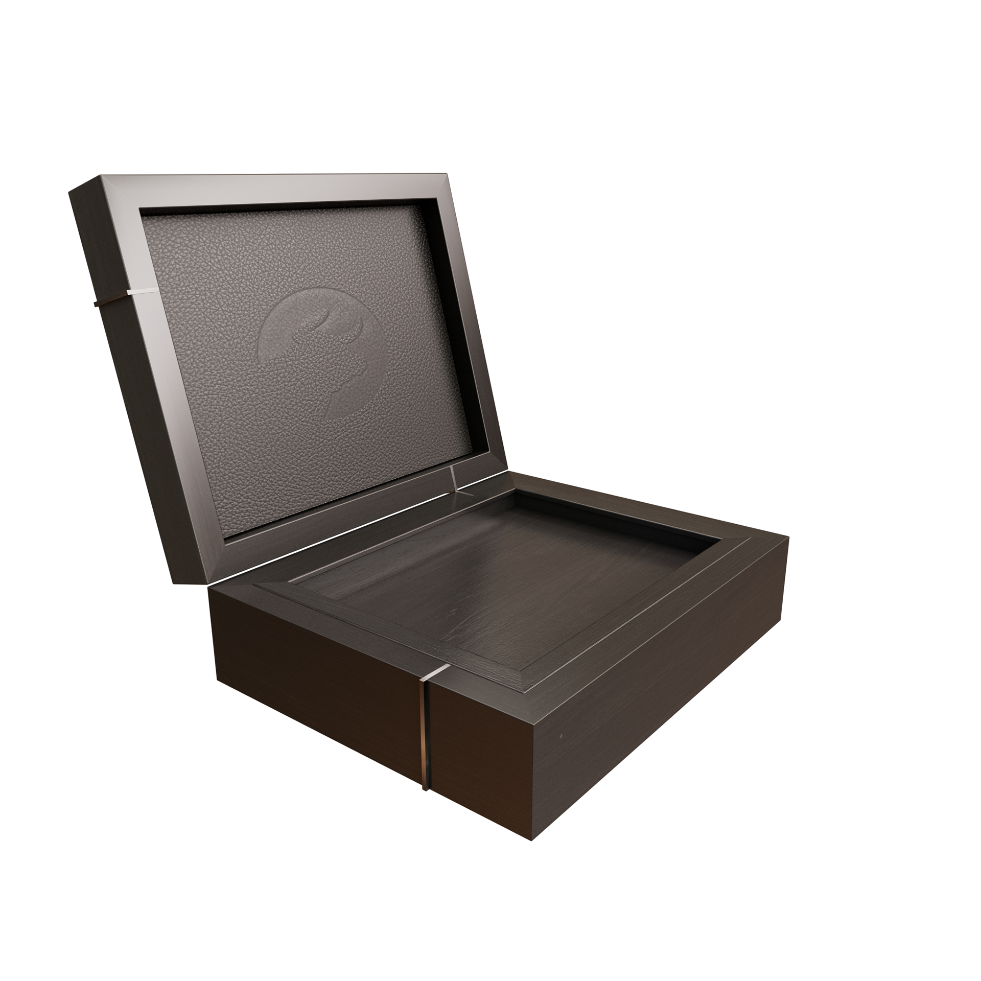


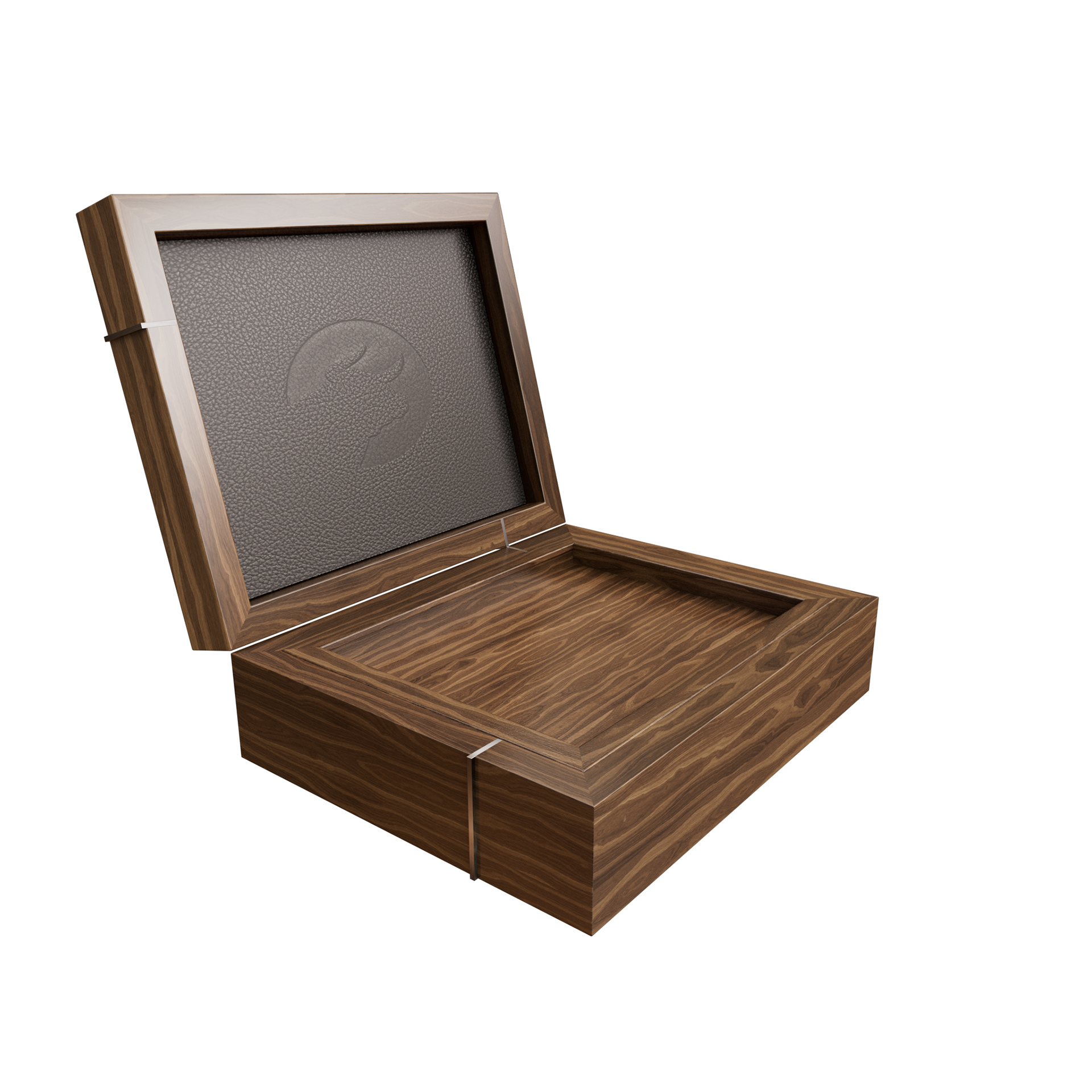


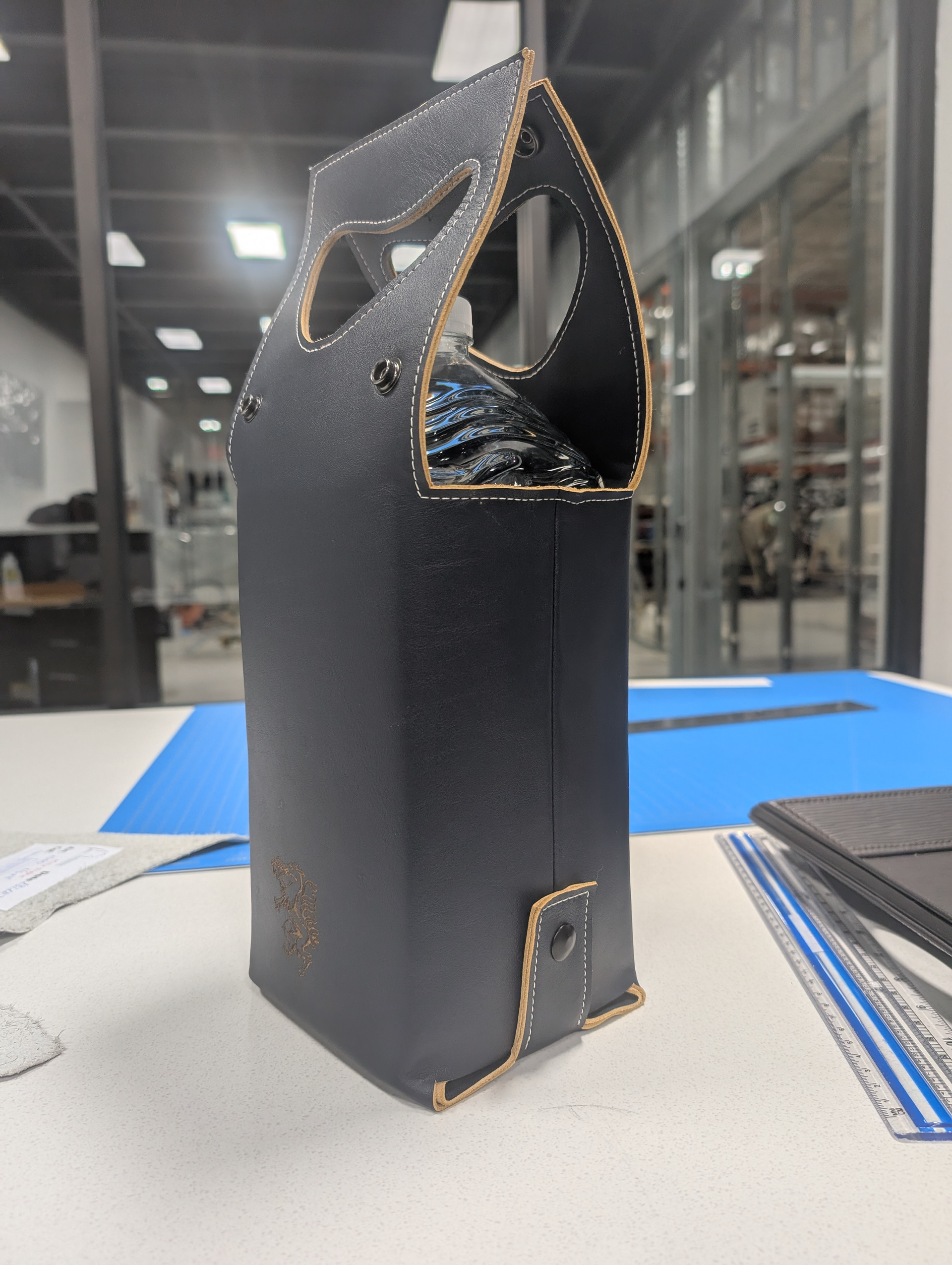


(The embroidered fish was a decision by the customer)


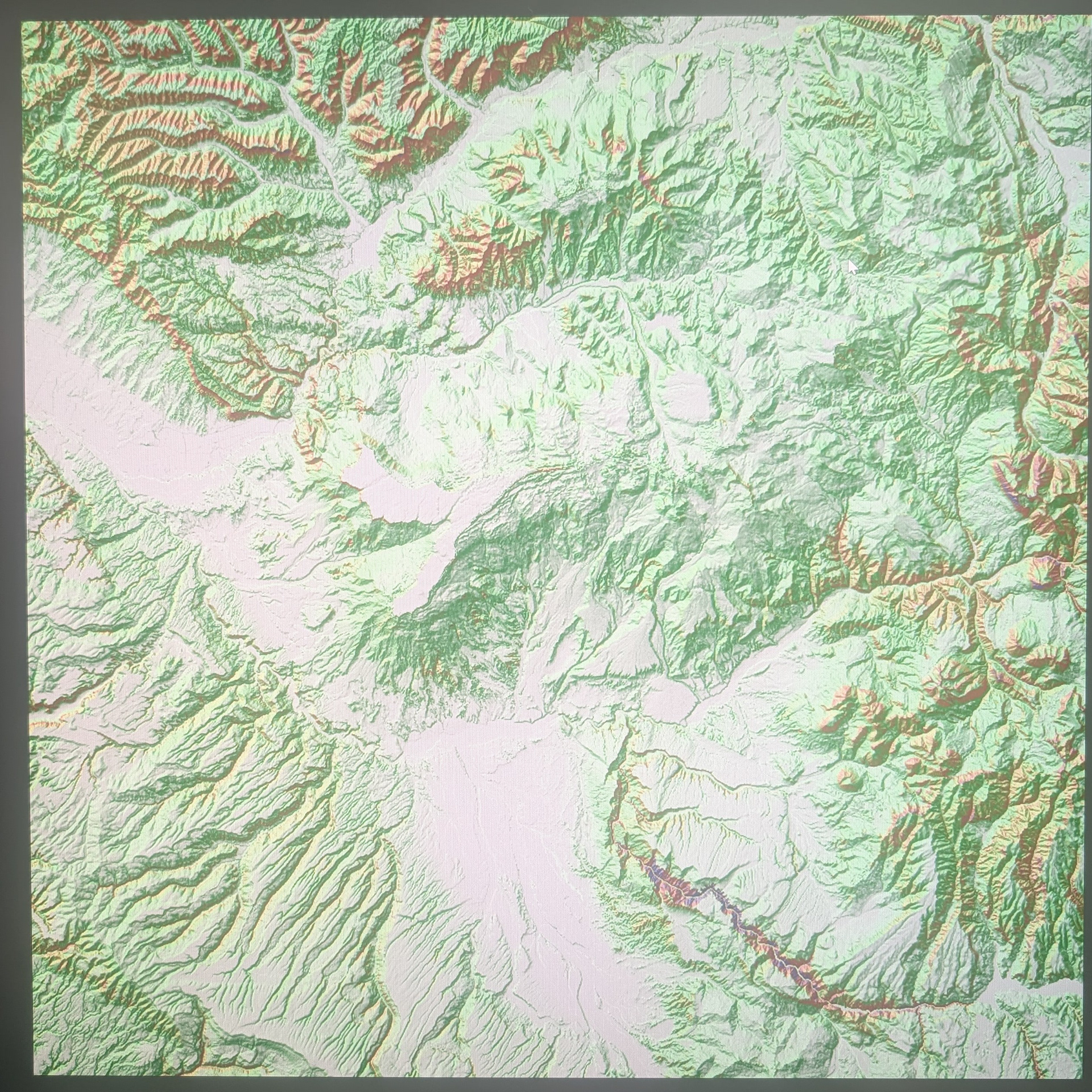


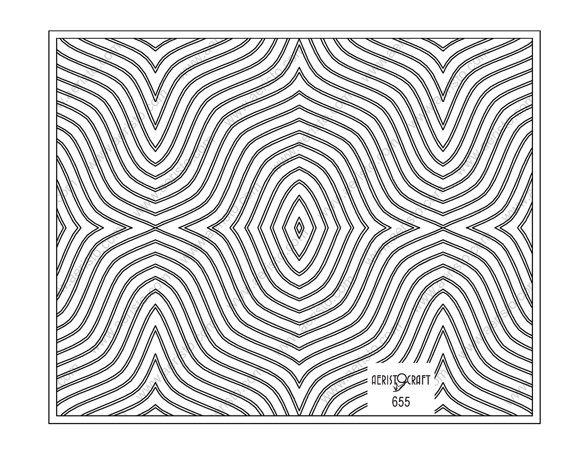
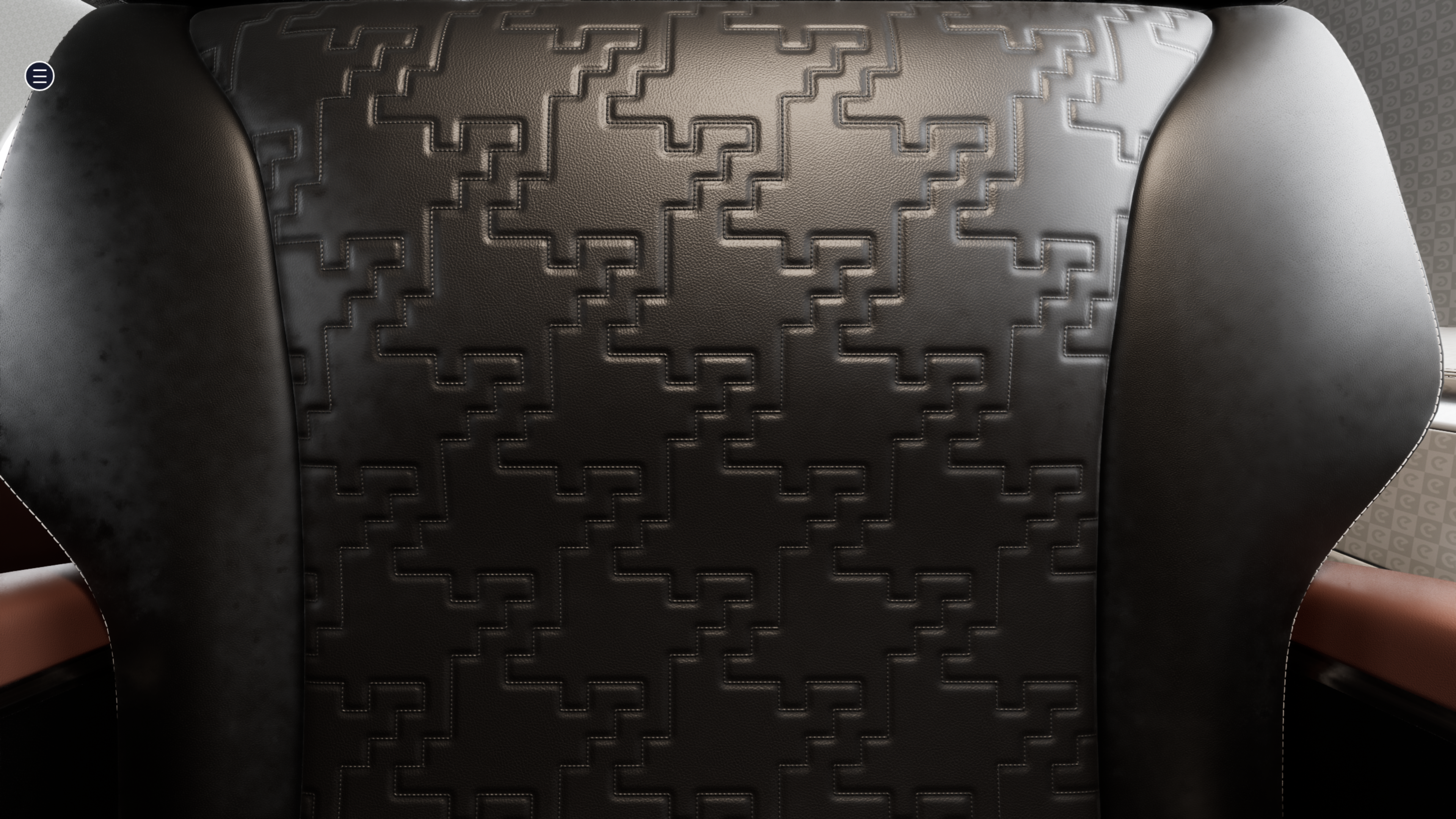
Aconcagua Mountain Elevation Data - Andes - Argentina

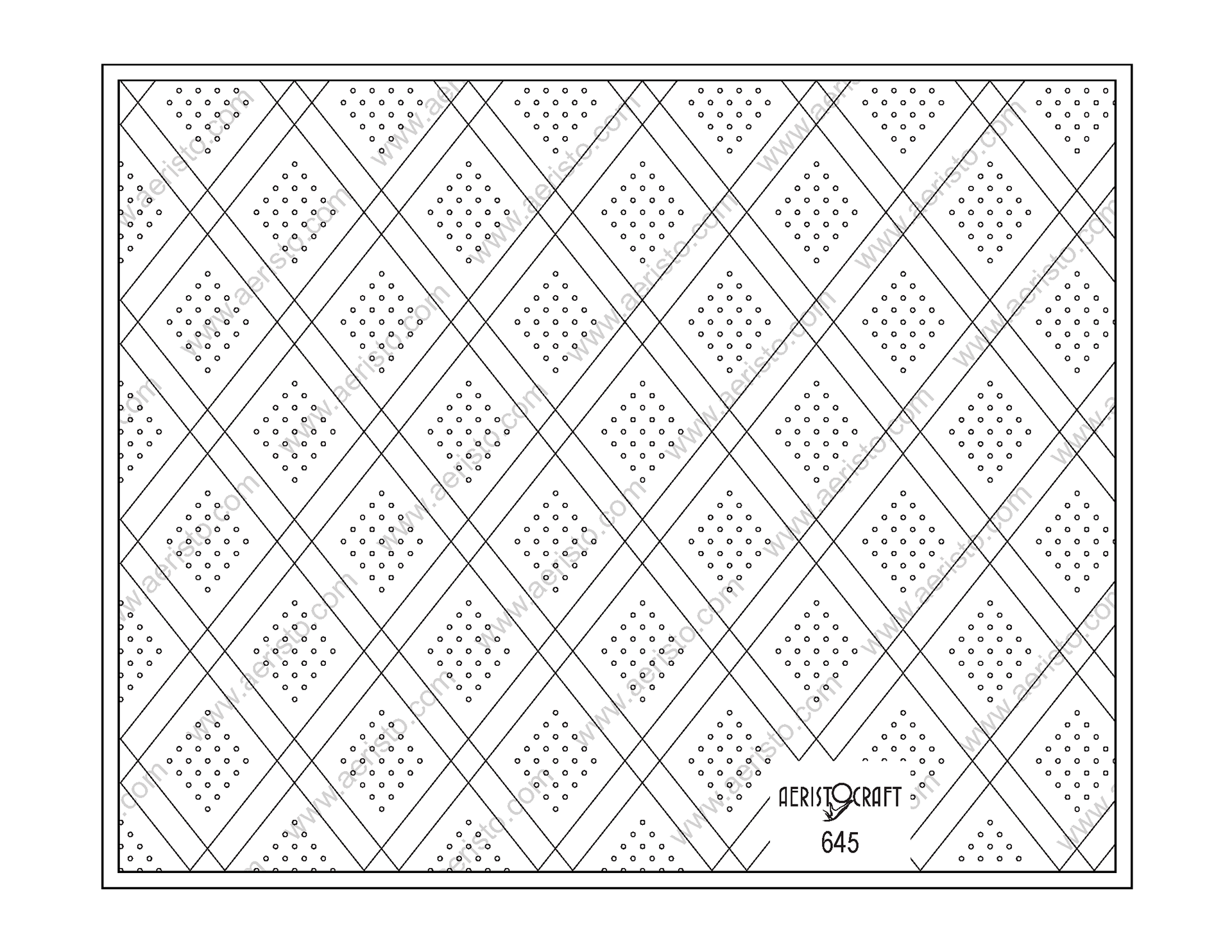
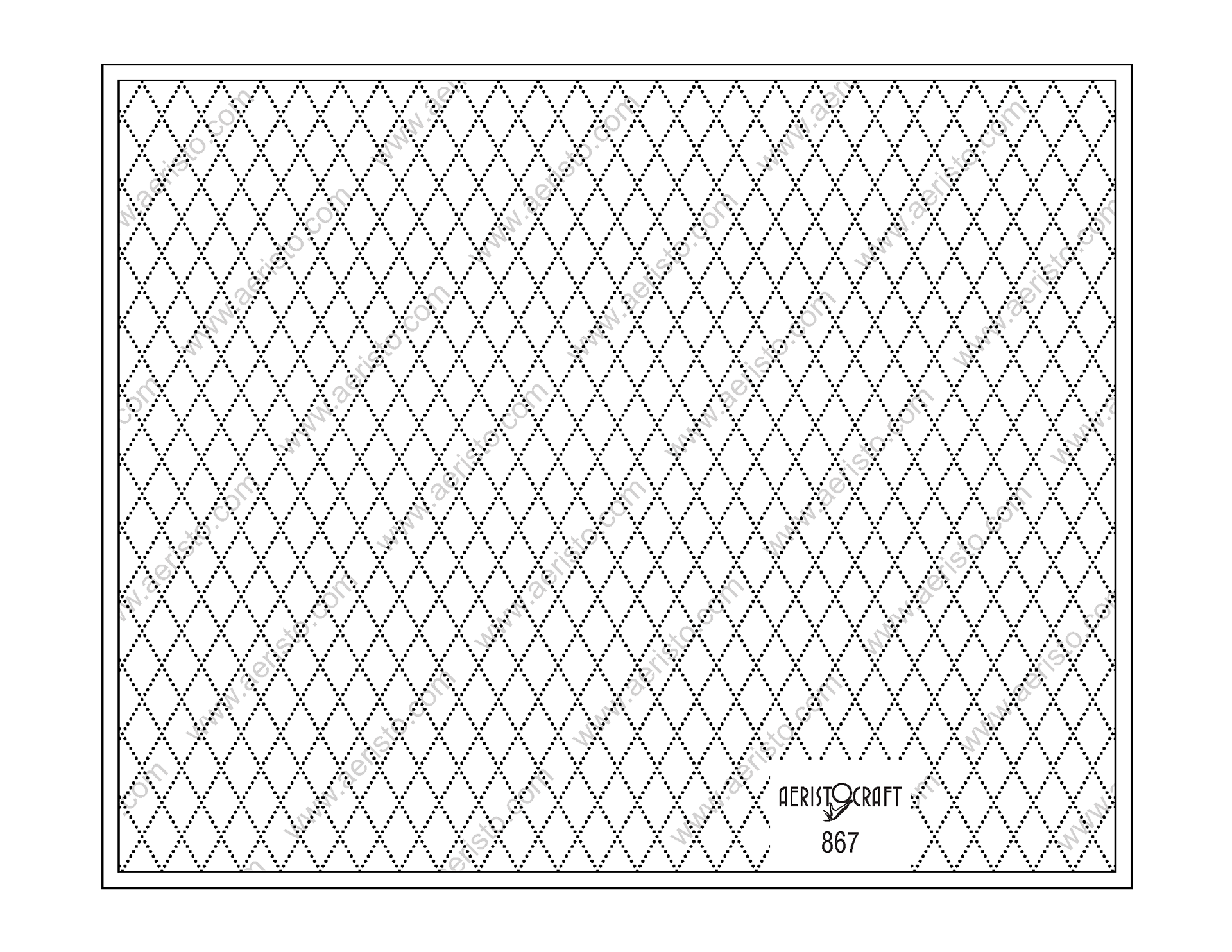
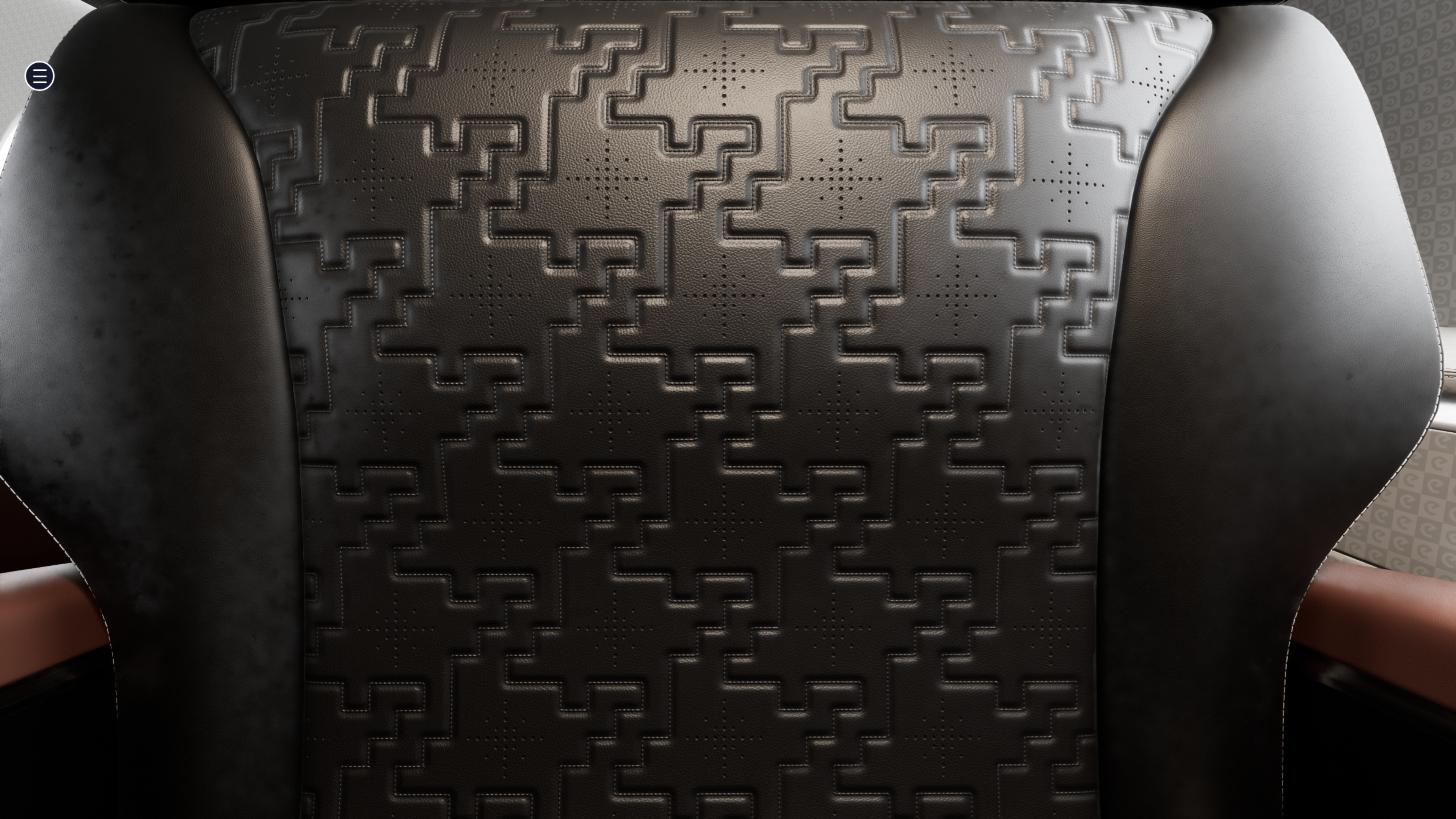
Aconcagua Mountain Perforations

Carbajal Valley Elevation Data - Andes - Argentina
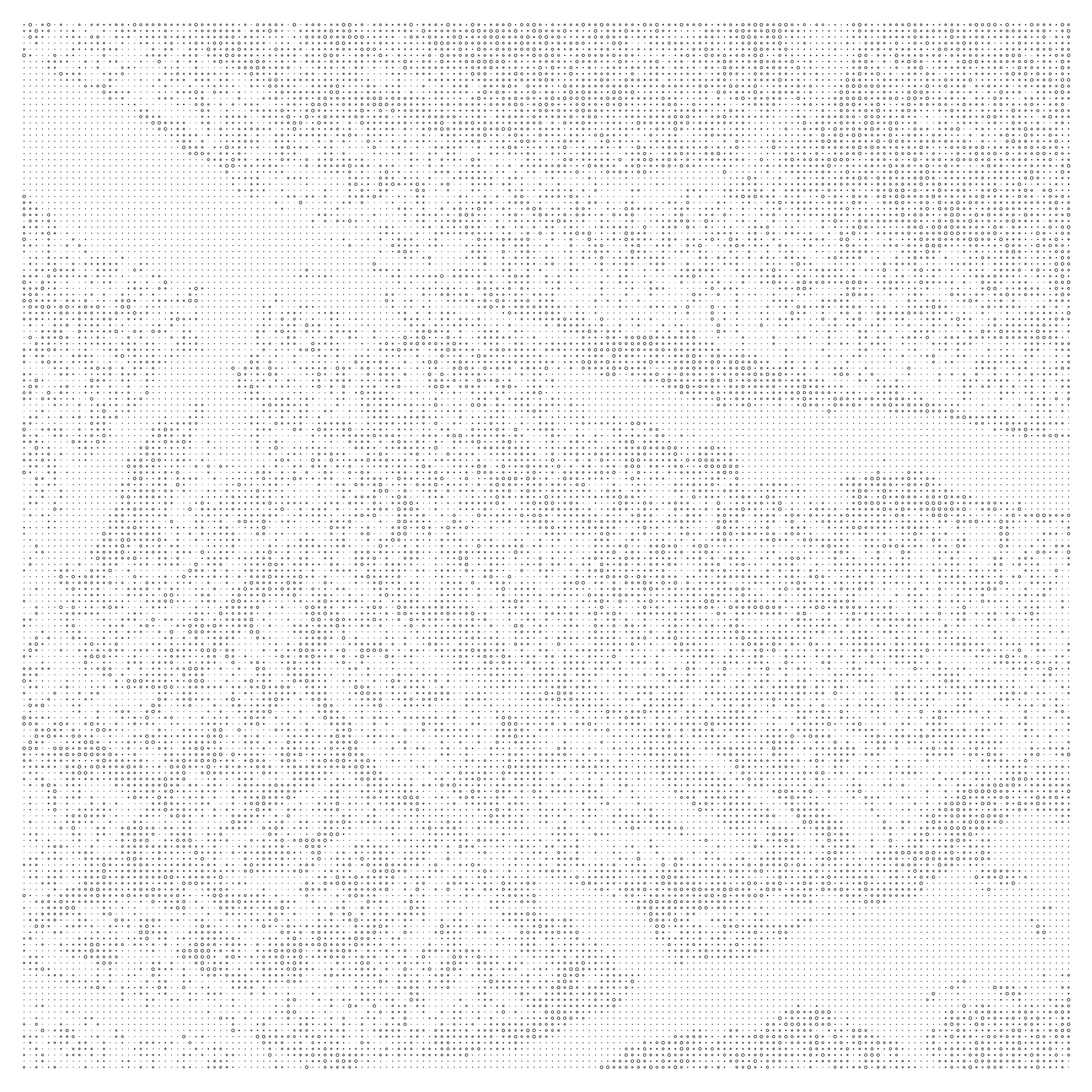
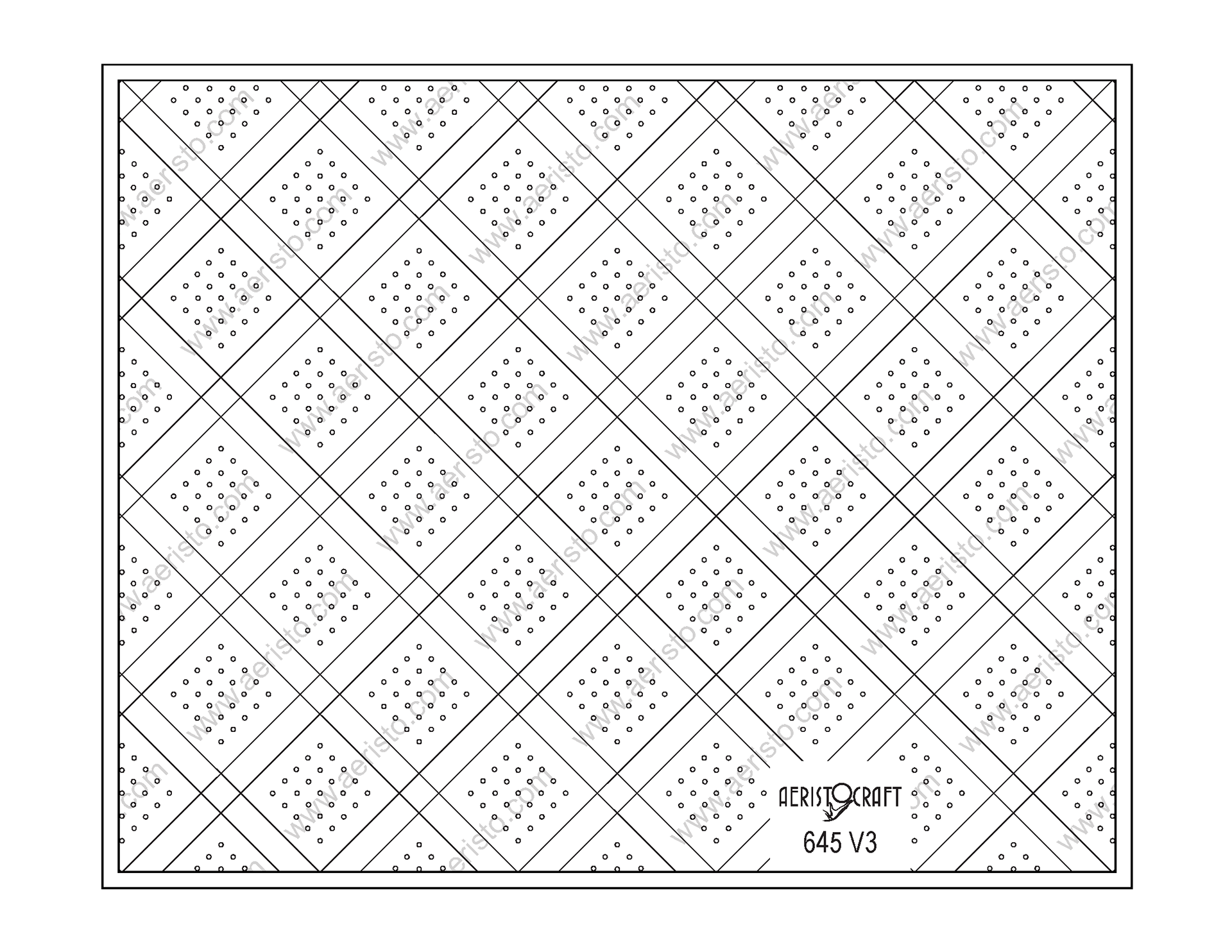
Carbajal Valley Perforations

Collegiate Mountains Elevation Data - Rockies - Colorado
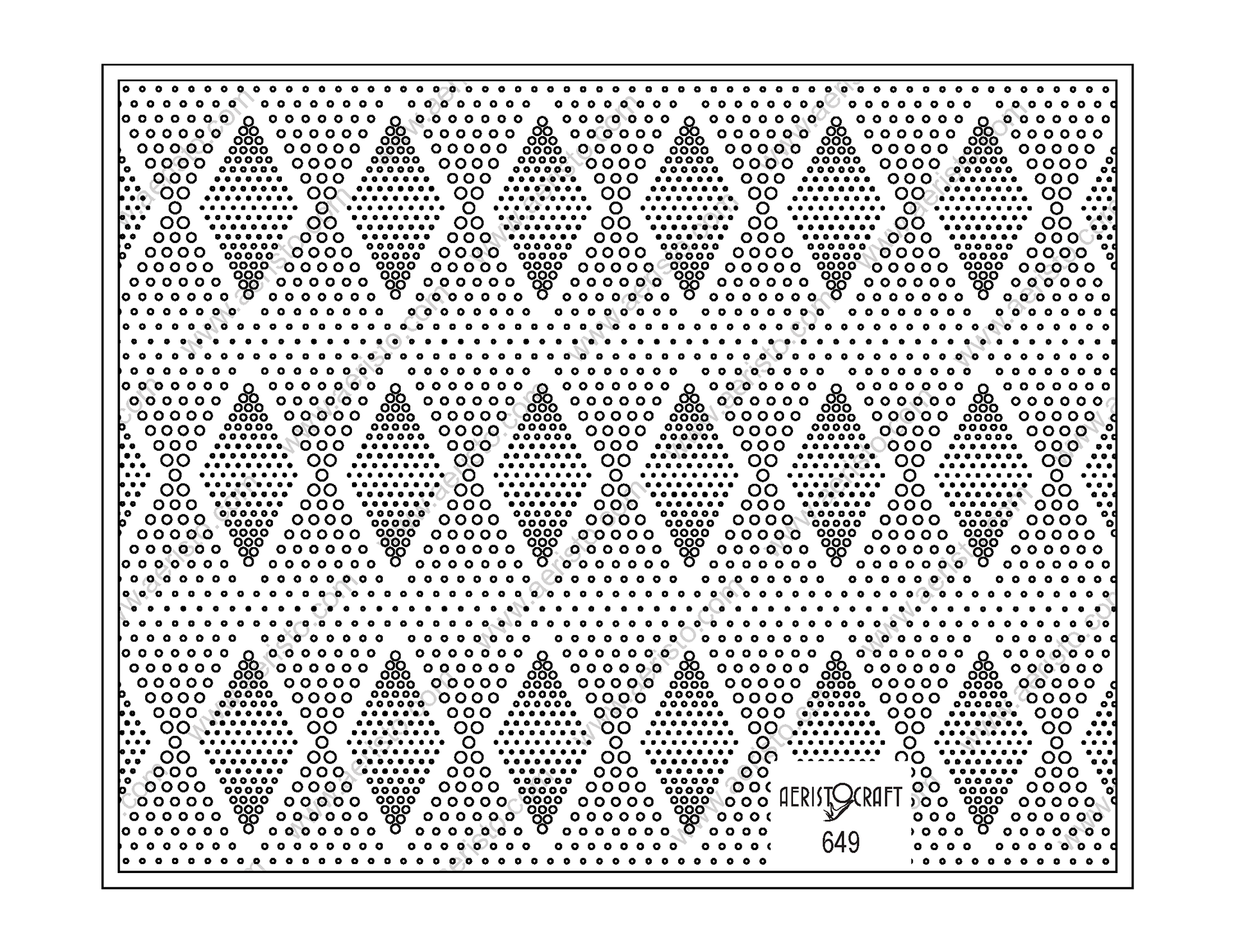
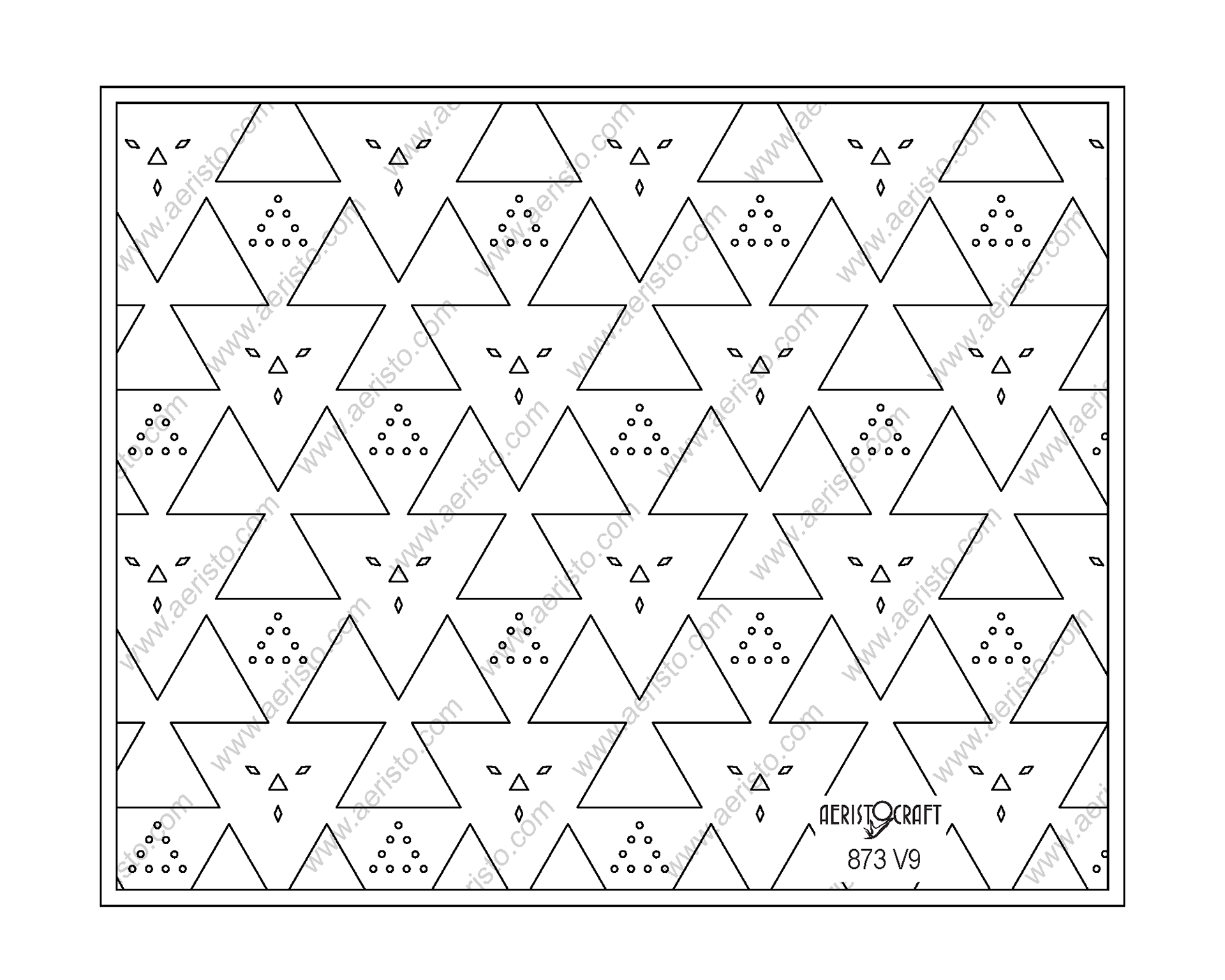
Collegiate Mountains Perforations

Dolomite Mountains Elevation Data - Italy
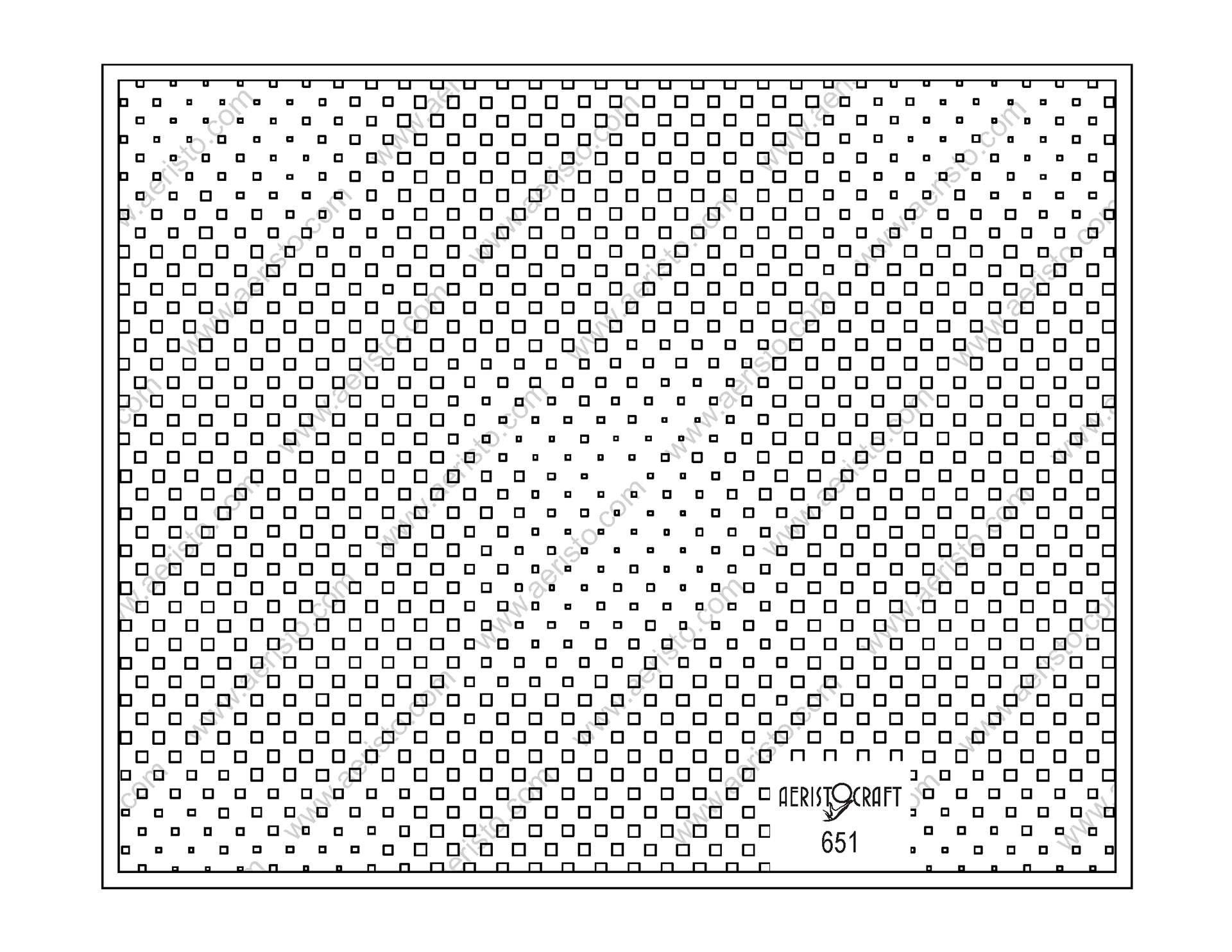
Dolomite Mountains Perforations

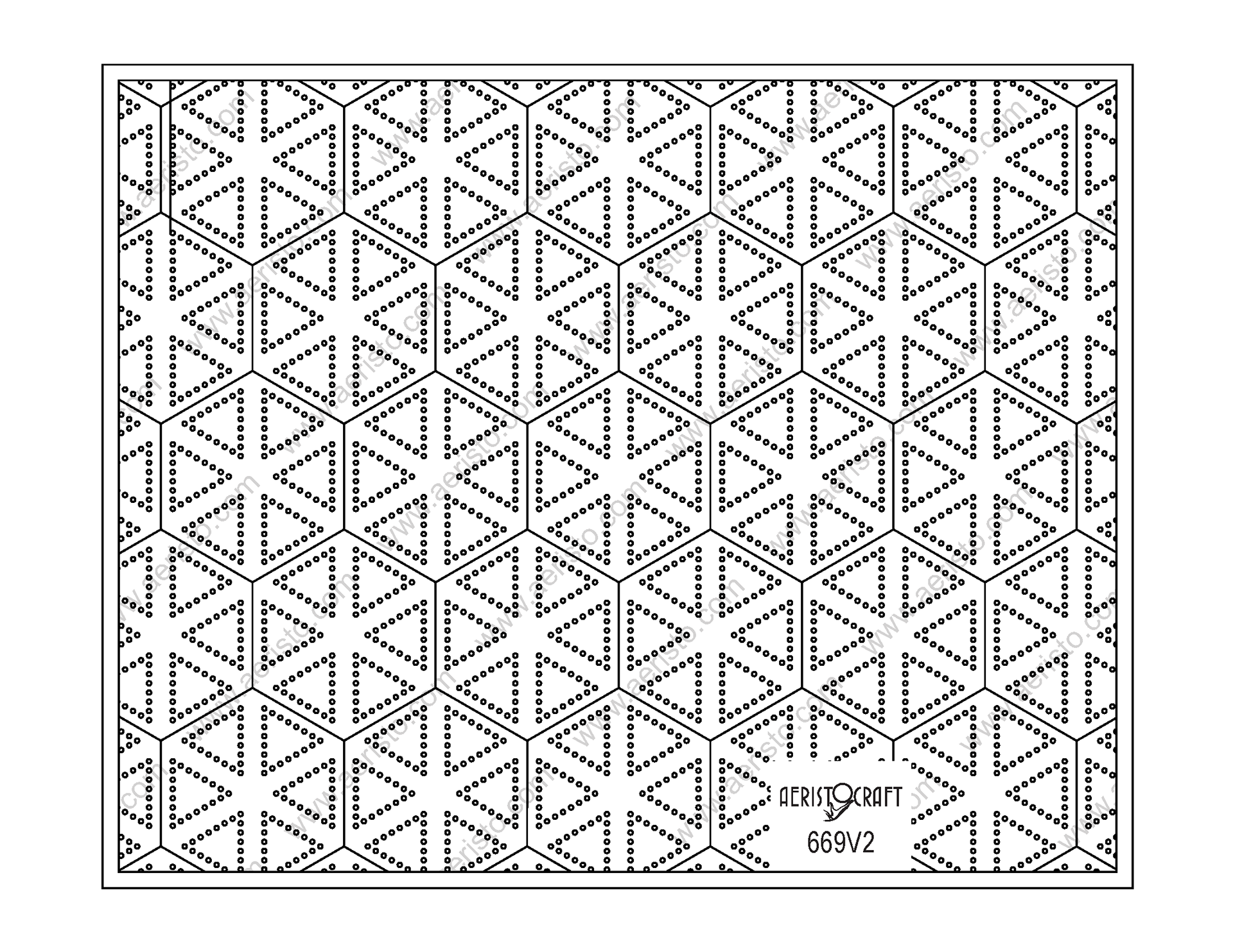
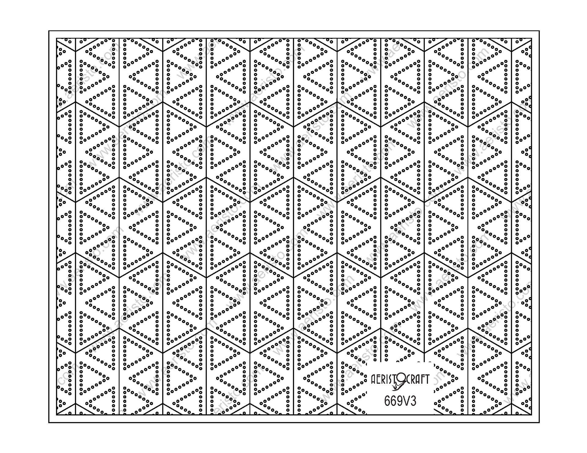
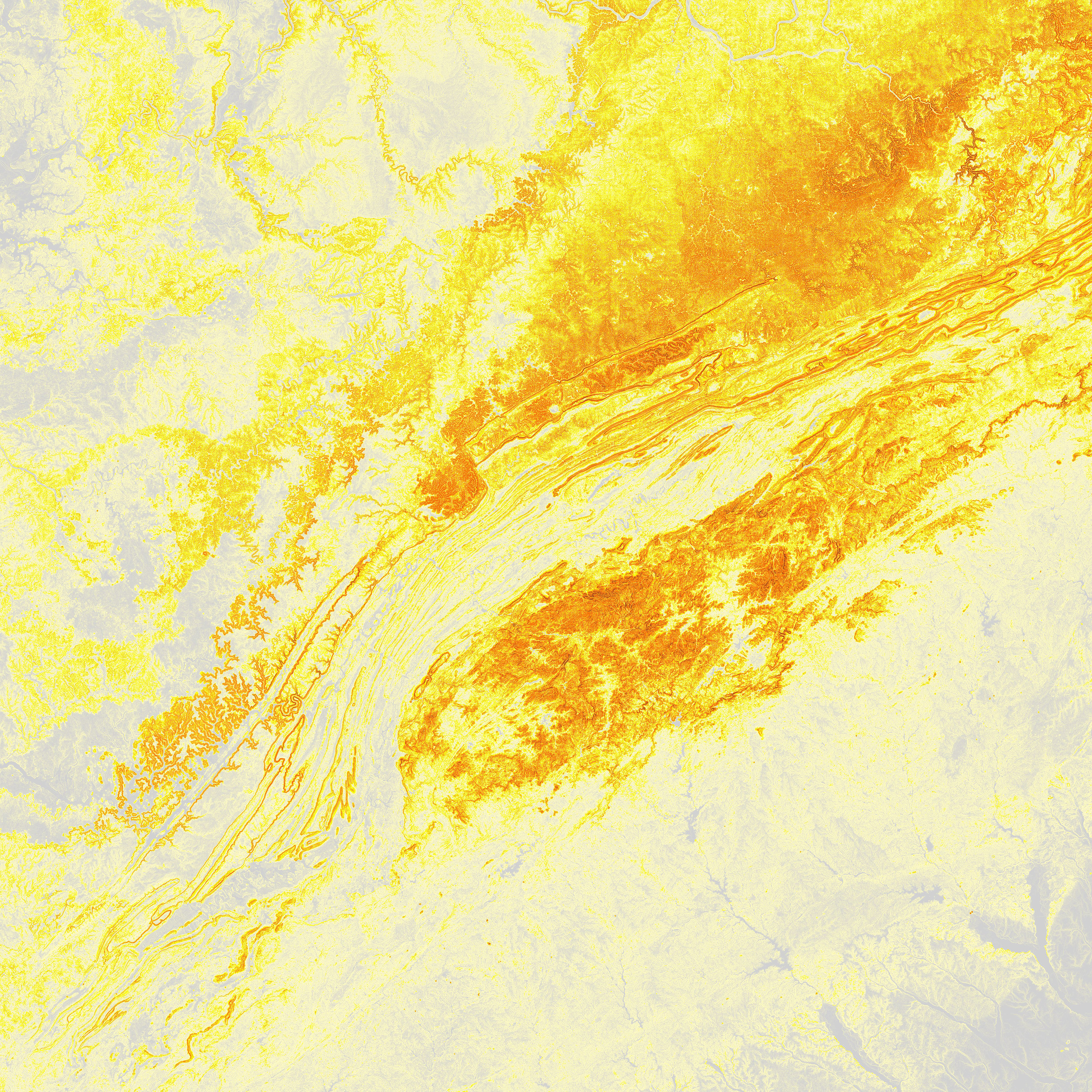
Himalaya Mountains Elevation Data - India

Himalaya Mountains Perforations
Nantahala National Forest Elevation Data - Appalachians - North Carolina

Nantahala National Forest Perforations

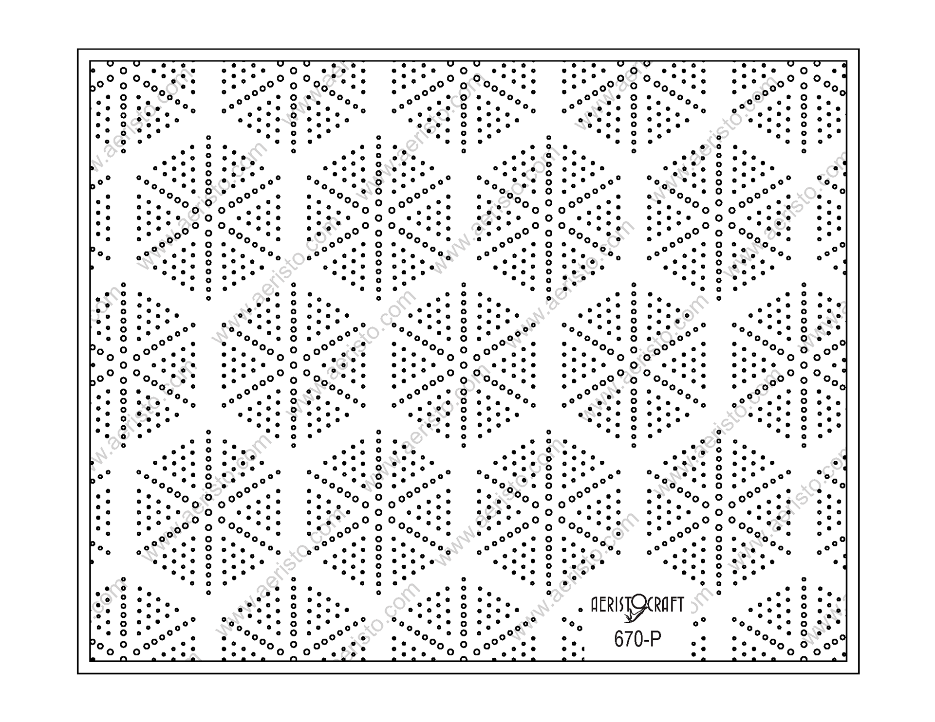
San Rafael Swell Elevation Data - Colorado Plateau - Utah
San Rafael Swell Perforations


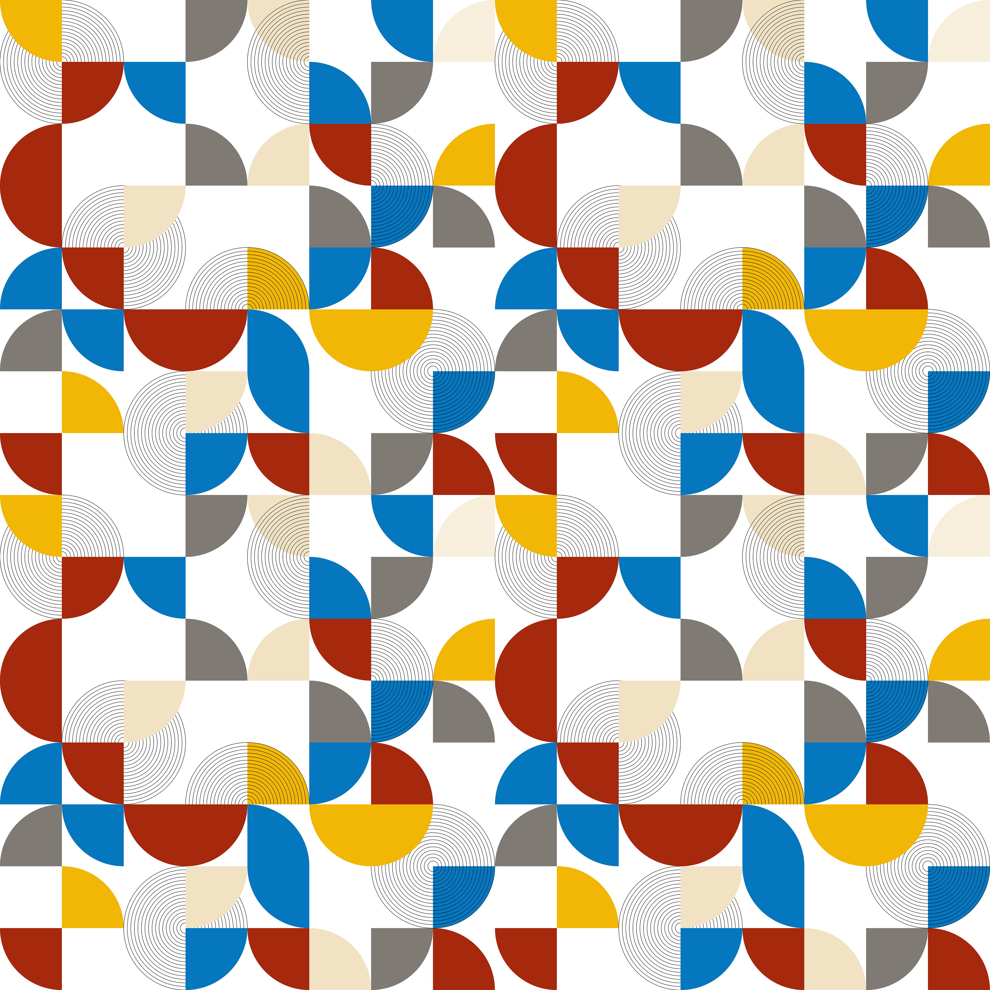


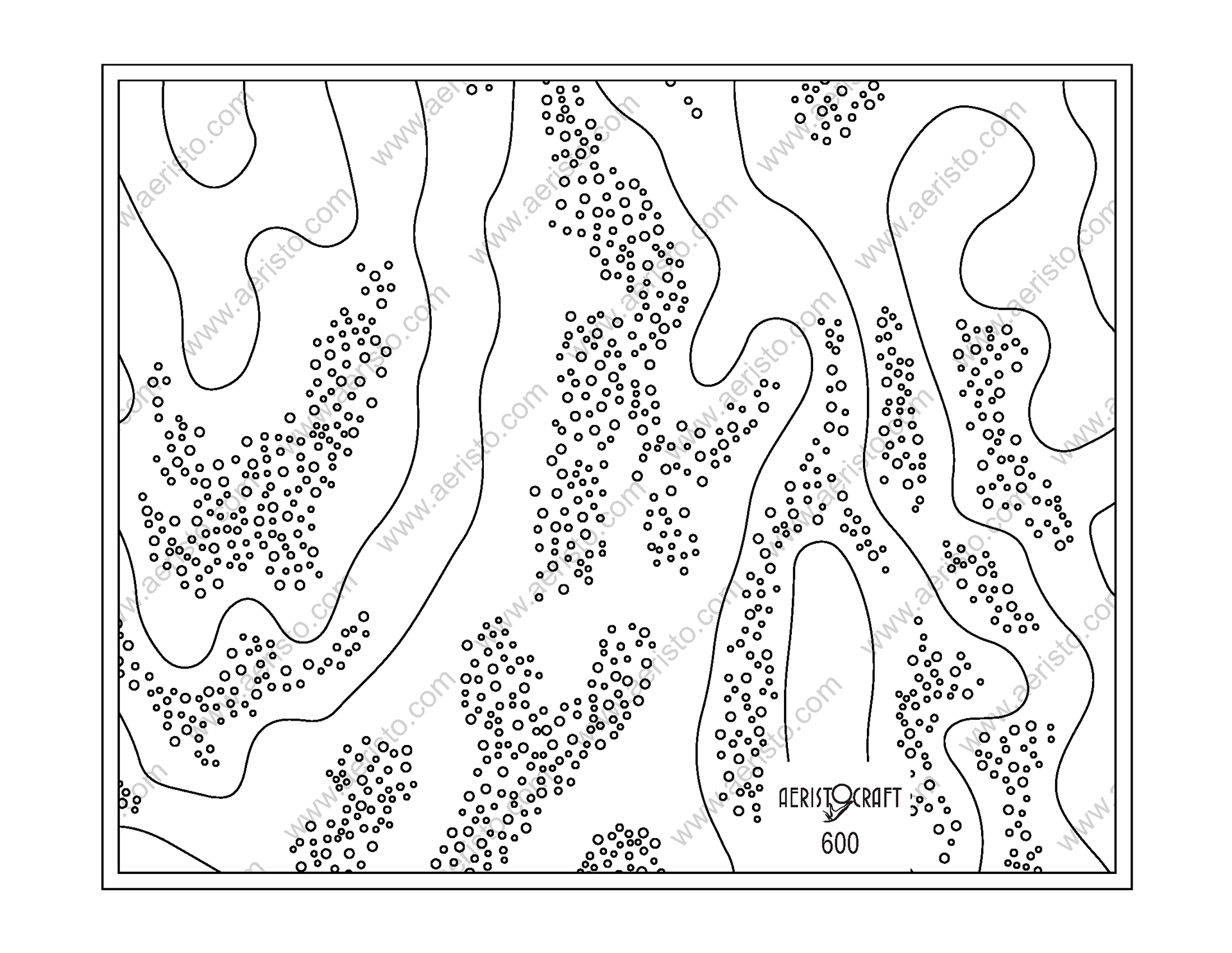
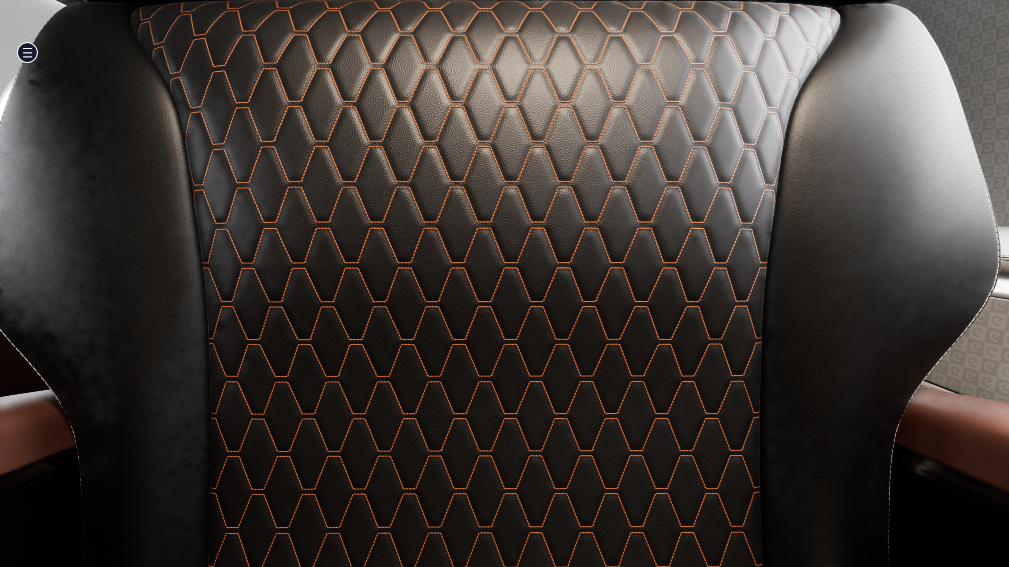
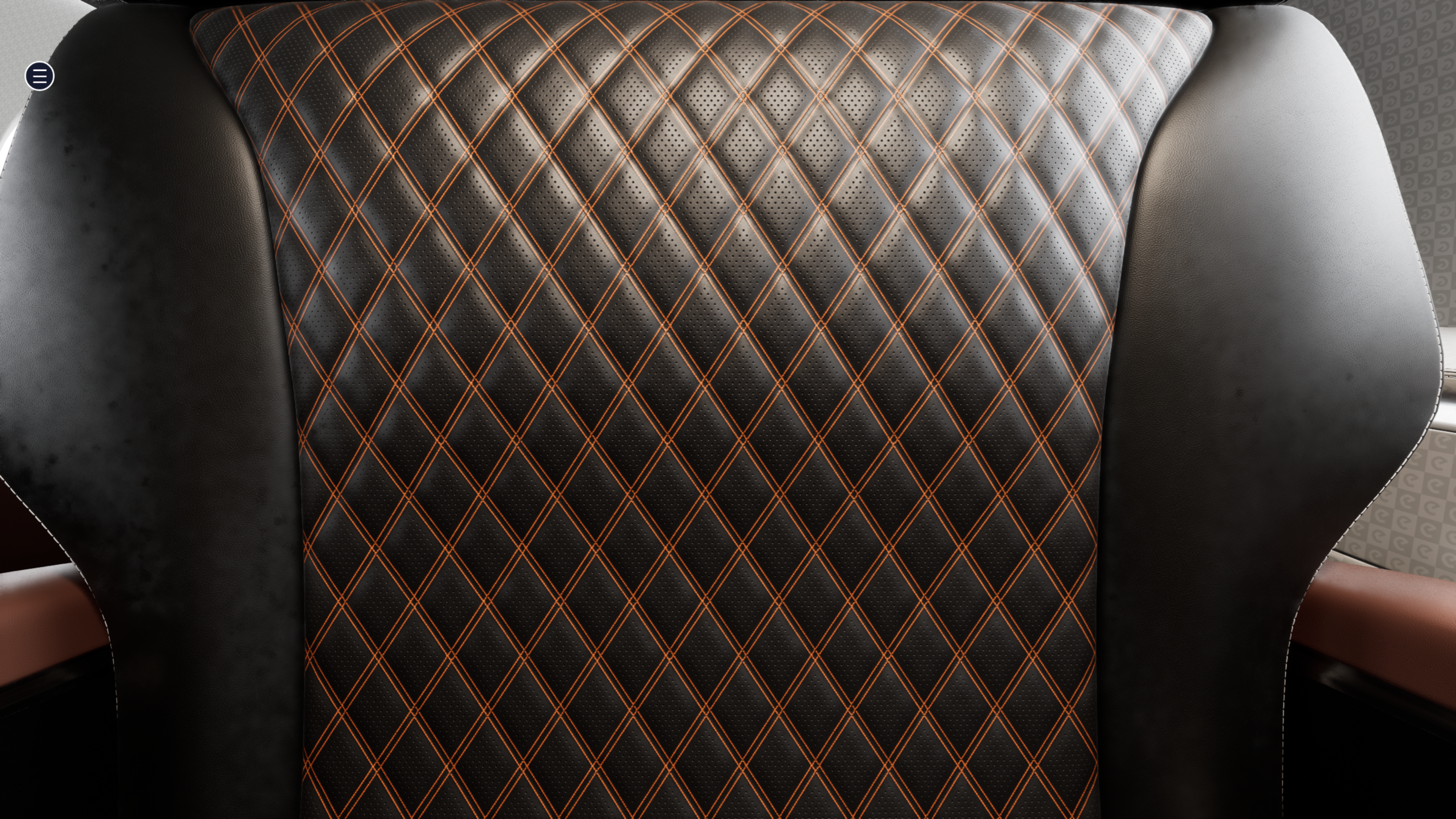
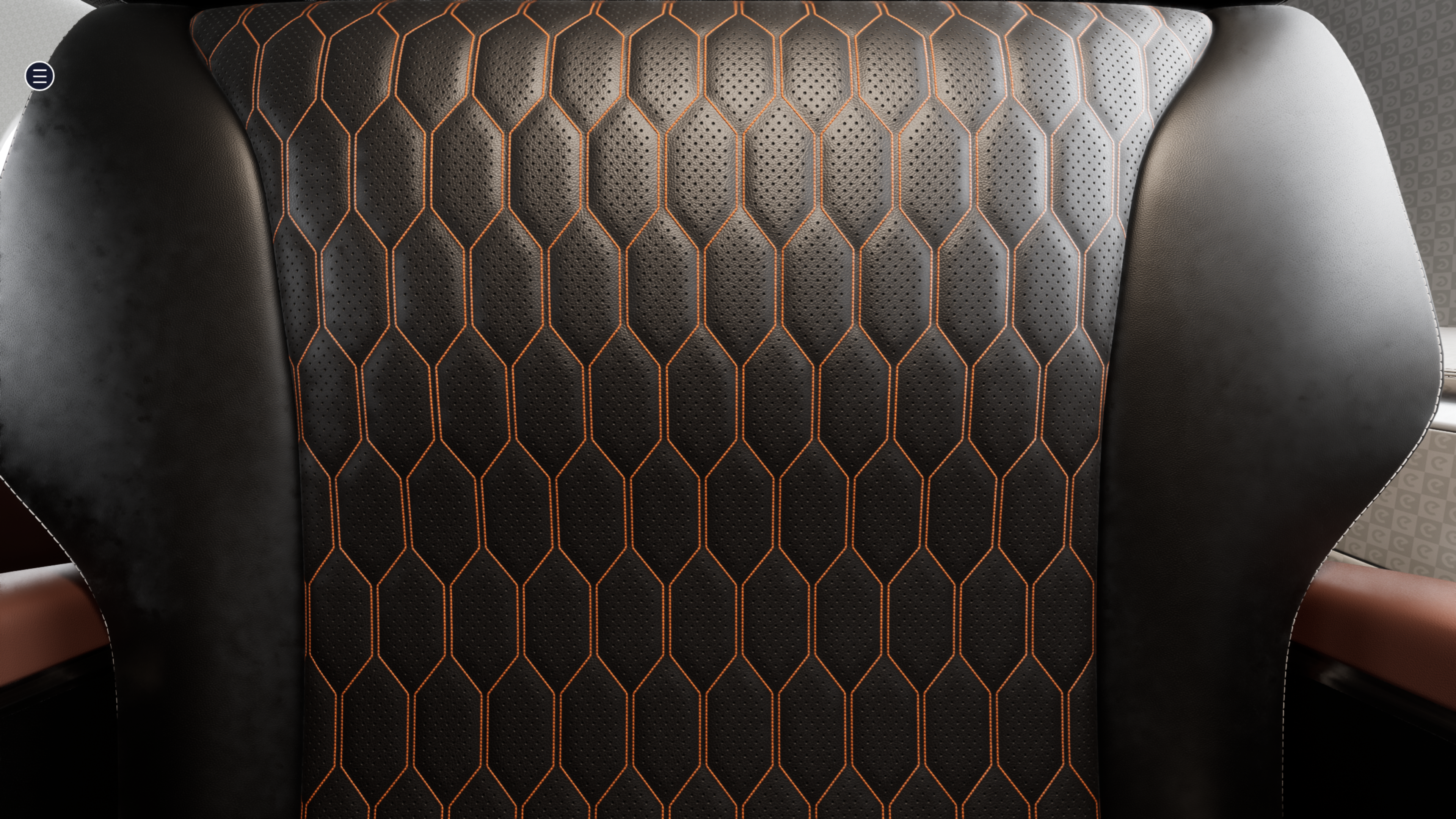
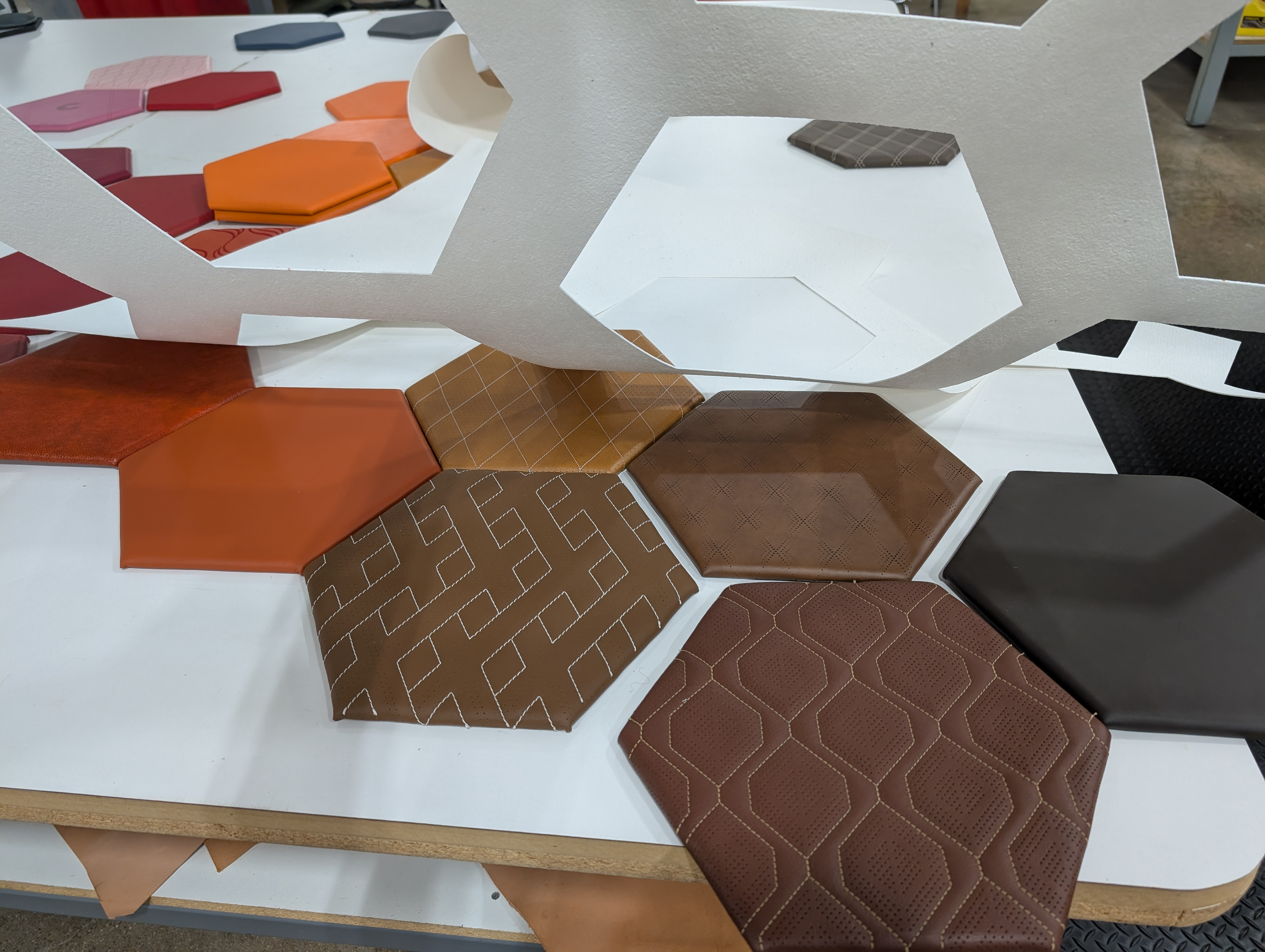
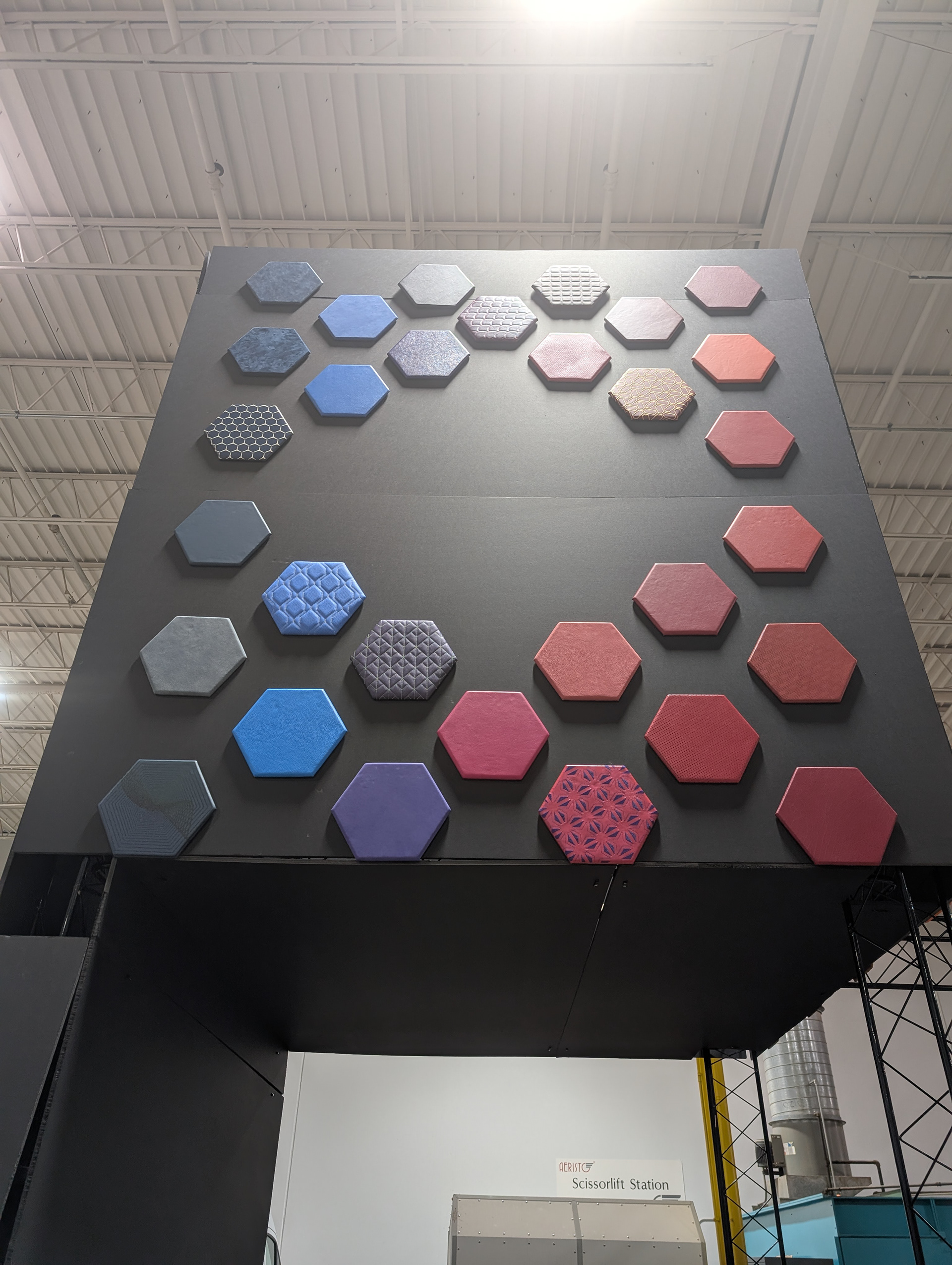
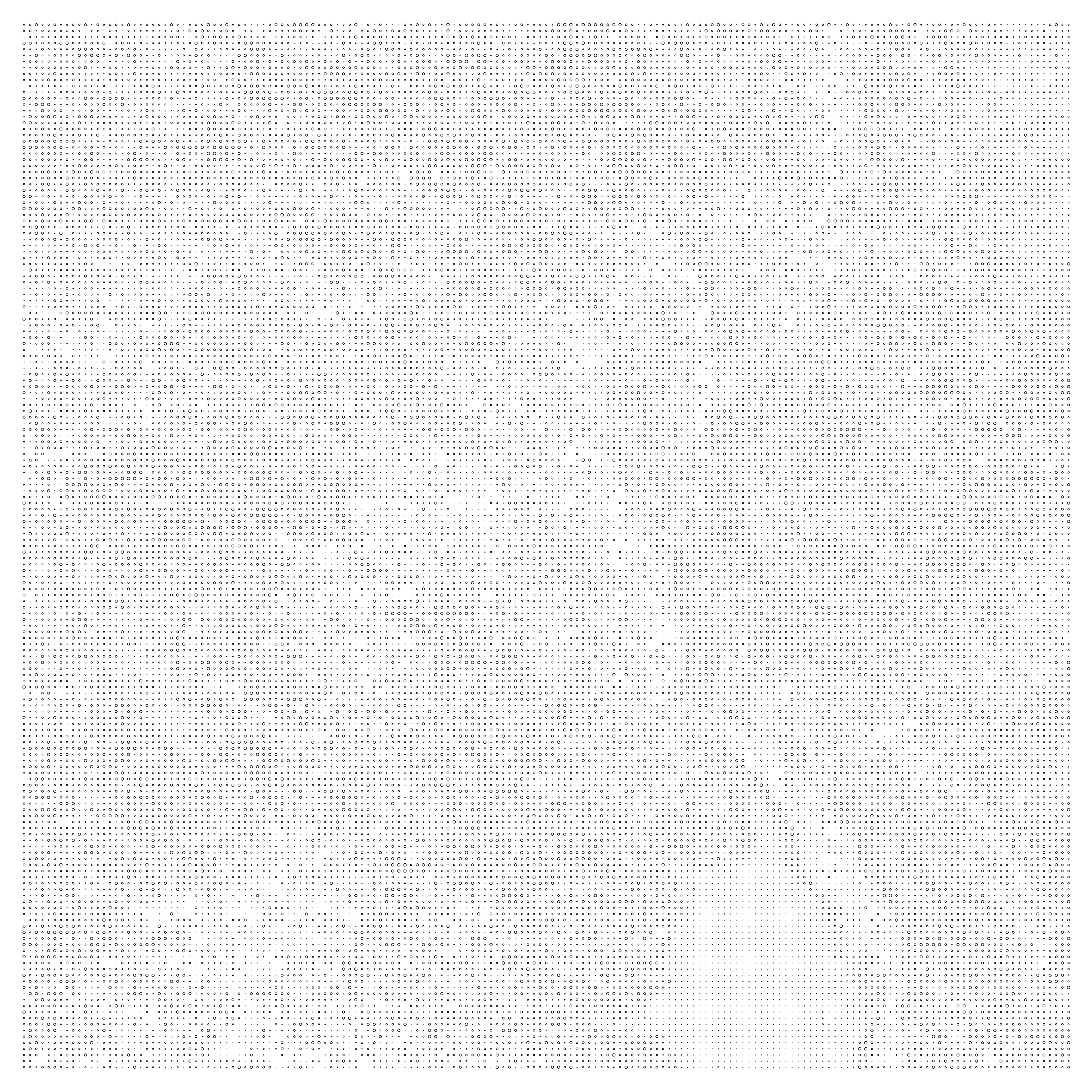
Concept - Perforation design based on color sampling
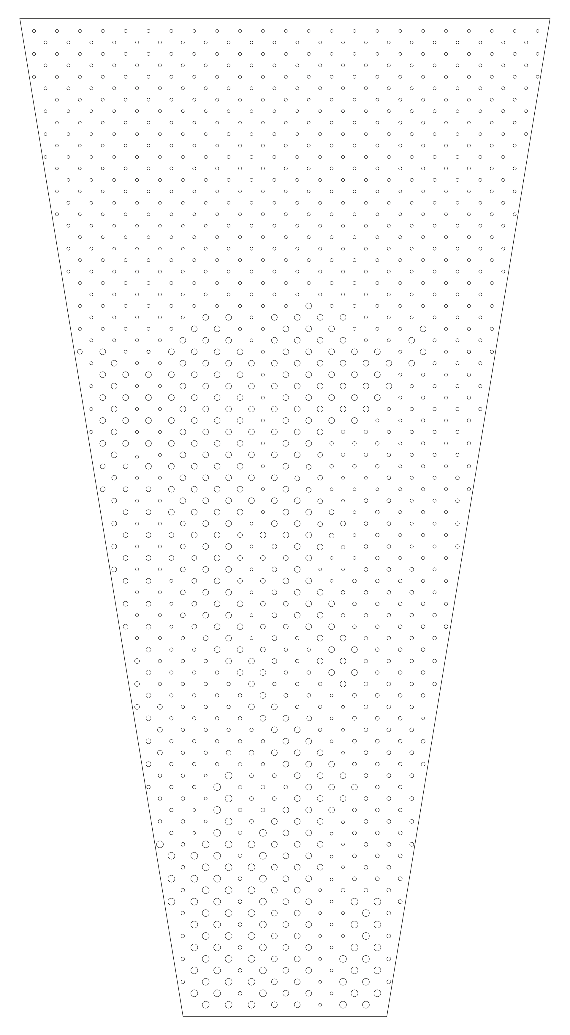
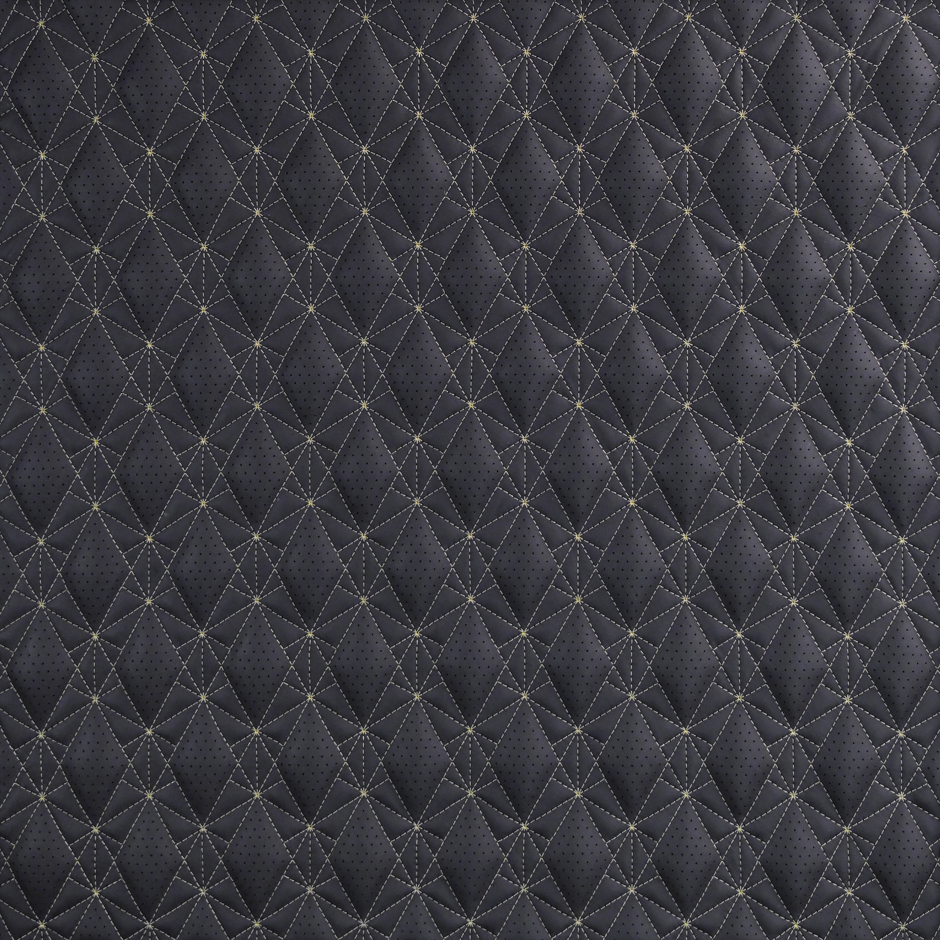
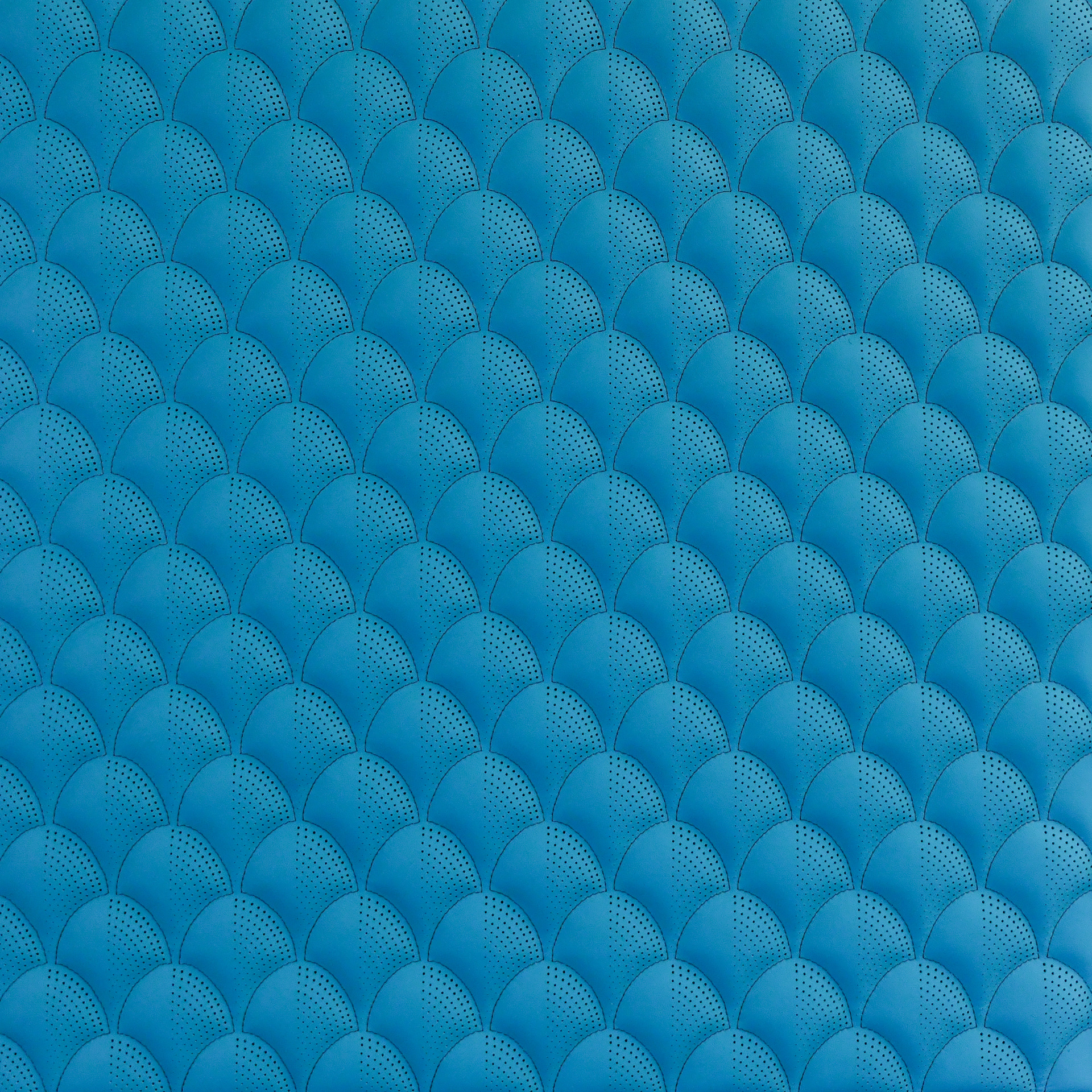
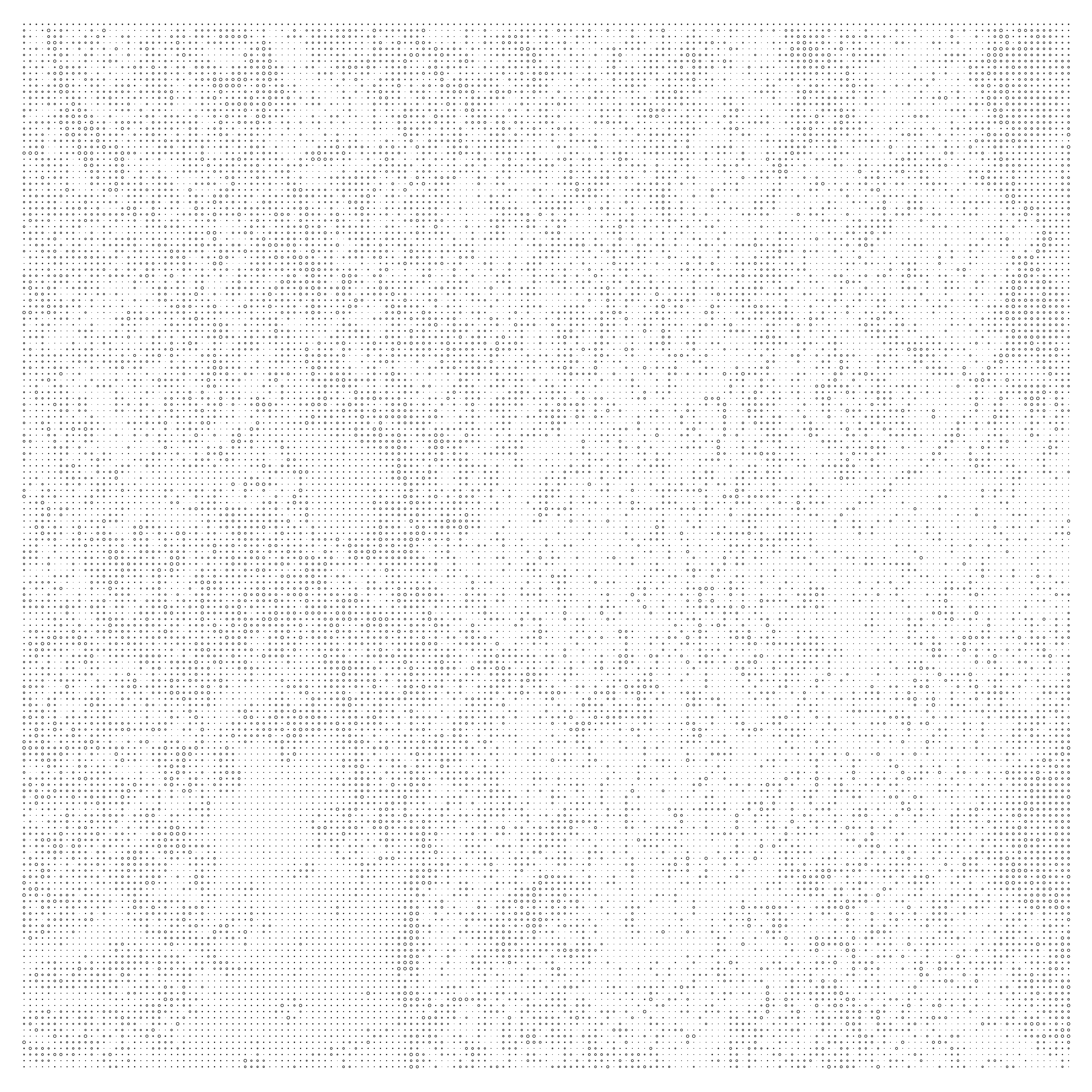
Final Seat Insert Design

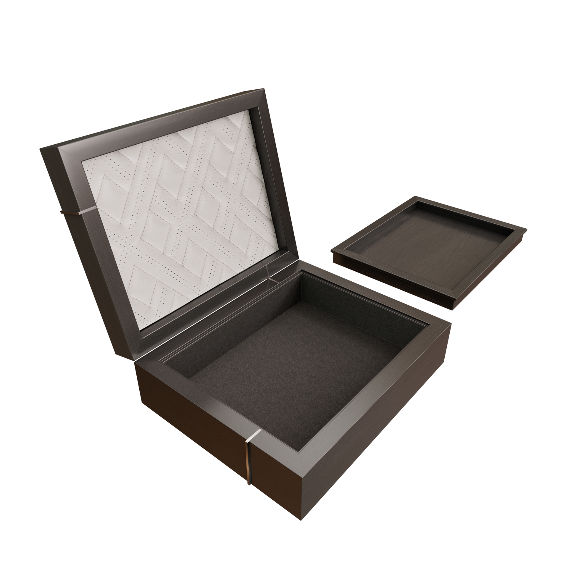
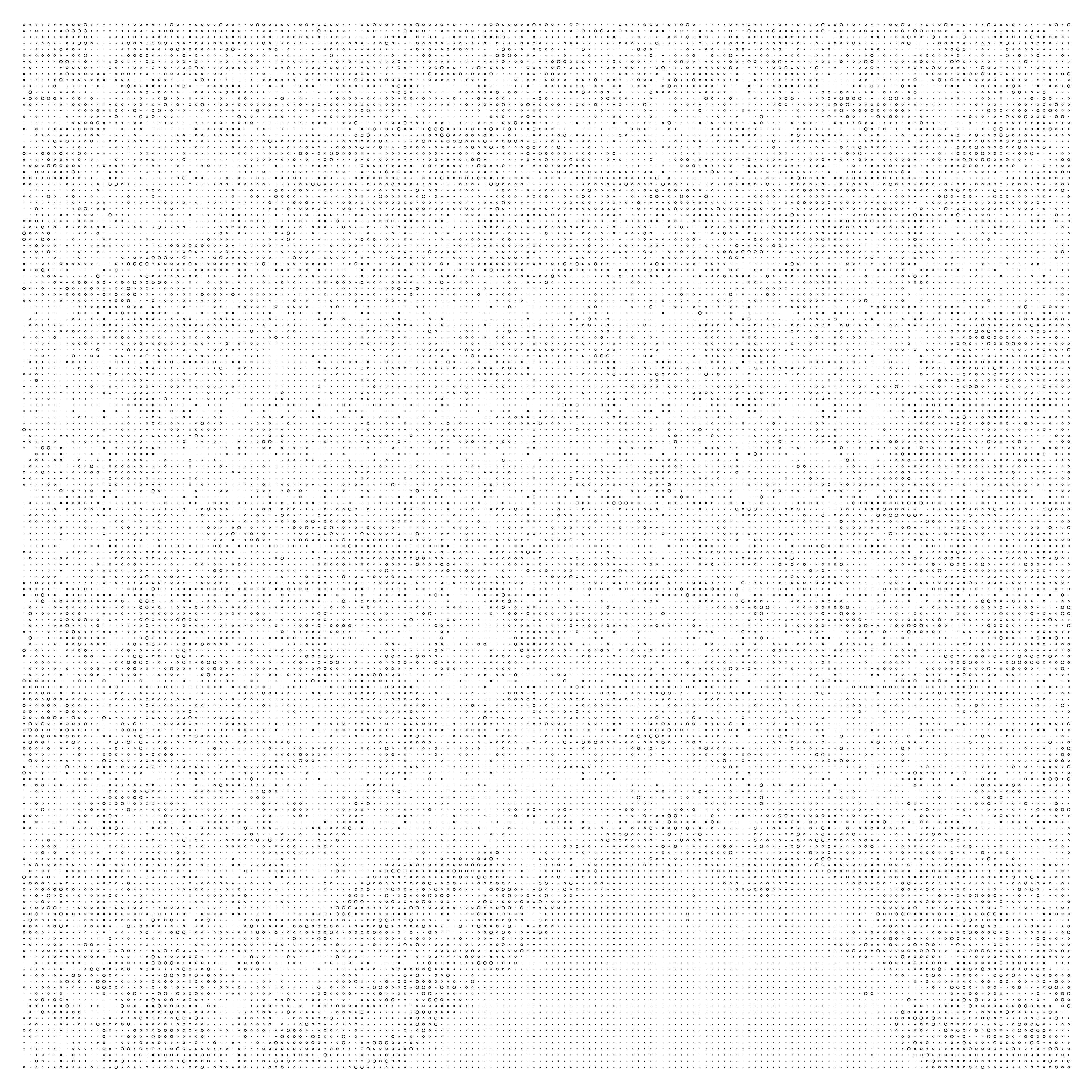
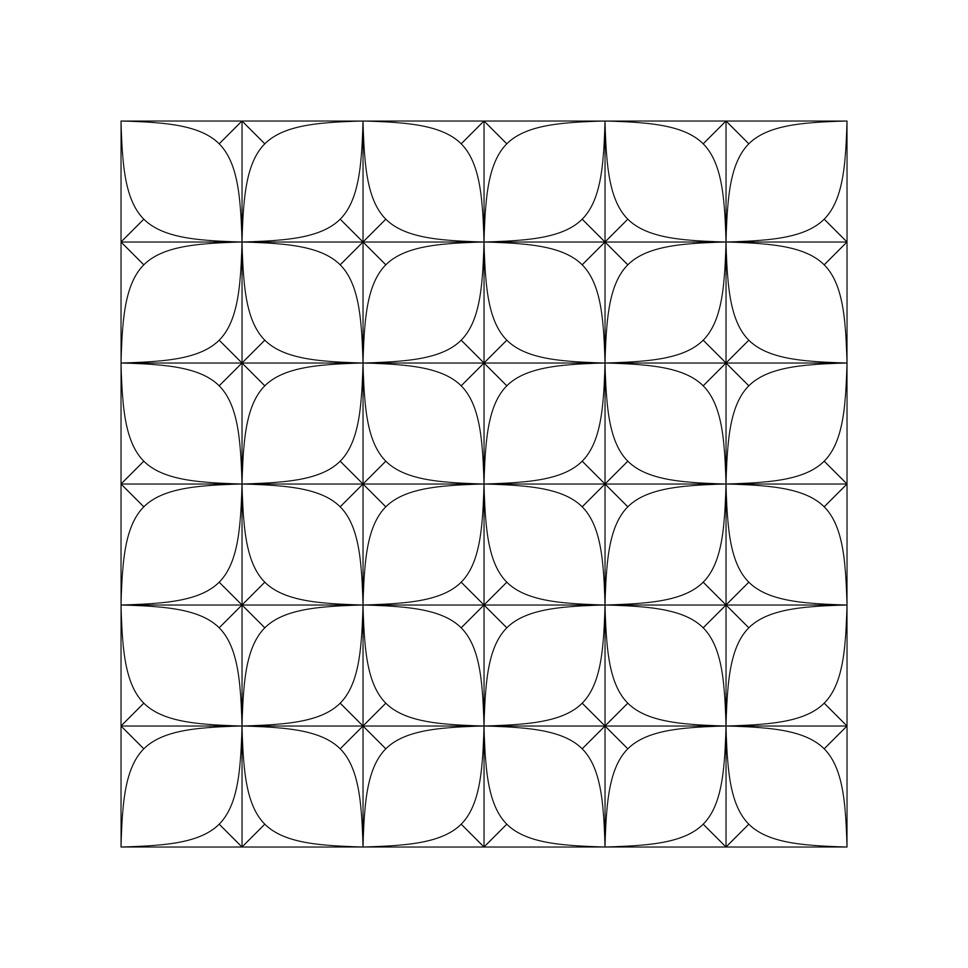
Pattern with repeat notated in red